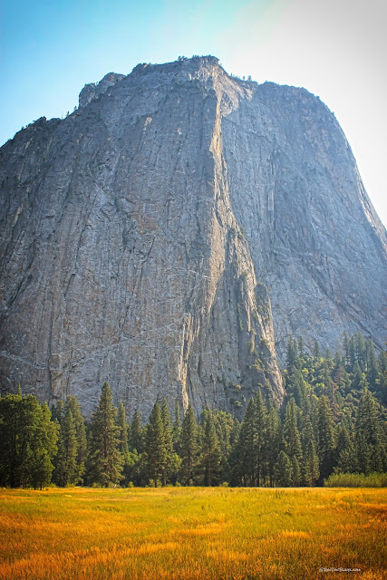
Yosemite Valley
Yosemite Valley
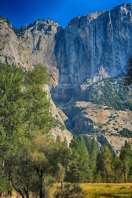
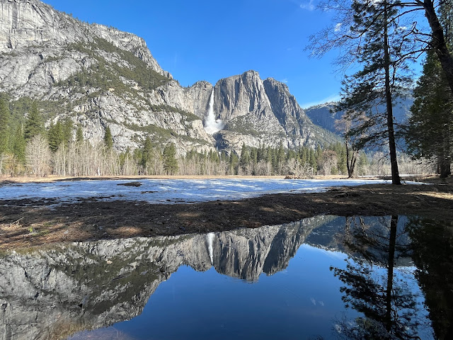
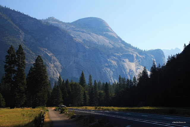
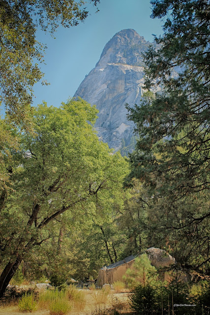
Glaciated igneous bedrock in a massive uplift - geology doesn't get better than this!See Yosemite in both dry and wet years -- quite a contrast!
Travel to Yosemite
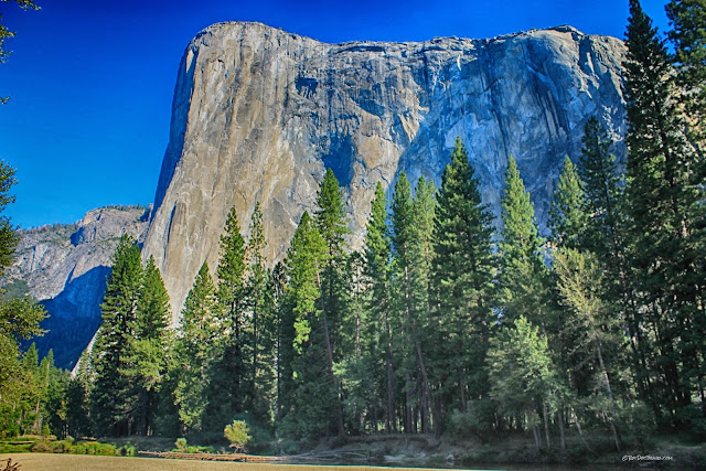
(Above) A view of El Capitan reflected in the Merced River.
Travel: For most people, Yosemite is a drive-there, stay-there National Park. You'll need lodging reservations about a year in advance. It's far from real towns for a one-day or commuter trip, but the adventurous may choose to stay outside the park in Buck Meadows, Groveland, El Portal, Forestal, Incline, or Wawona and drive in and out each day.
Vehicle: Any, but large vehicles are difficult to park when Yosemite is crowded (which is all summer). If you have an RV, you can park it and take shuttle buses to all the major attractions in the park, including high-up Glacier Point and all major trailheads.
Lodging in the Park: The park has a lot of options and a lot of capacity, from tent sites to platform tents to RV parks to motels and high-end hotels. See your options here.
Lodging outside the Park: The closest options are at El Portal or Incline outside the west entrance on Highway 140, or at Buck Meadows and Groveland on Highway 120. Motels there are pretty pricey. You can go farther to save money, but that entails a daily drive up the winding canyon road. I have stayed in Mariposa and Buck Meadows for more reasonable rates (still not low) and made the drive.
Food: The park has a remarkable number of places to eat, especially around the Valley Visitor Center and Half Dome Village.
Hiking: Wow! See trail info here.
Activities: See the park's website. You certainly won't be bored!
Other Facilities: The Valley Visitor Center and Half Dome Village areas have grocery stores, restaurants, museums, gift shops, showers, swimming pools, and a medical clinic.
Crowds: Yosemite gets as many visitors as Yellowstone (4+ million every year), but puts them into a small fraction of the area. Be prepared to be patient. Go off-season if you can (before June or after August), and avoid holiday weekends.
Seasons: You can visit the valley any time of the year. The Glacier Point and Tioga roads are closed in winter. The main valley can also be closed after winter storms.
Drought: California has undergone an extended drought since 1998, but not every year is equally dry. The valley's waterfalls are of course major attractions, so to make sure you see them go in April to June or in a wet year.
Park Roads: The Park Service is talented at making confusing roads with confusing and vague signs. The park is basically a loop. Keep a map with you, and go only one short stretch of road at a time if you are having trouble finding anything. Or use the shuttles. And note that Half Dome Village is called Curry Village on the map you receive when you enter the park, but NOT ONE SIGN in the park says Curry Village! Perhaps they'll update the pamphlet one day, but I wonder -- is there an evil genius working in Park Service management who gets jollies watching lost tourists?

This perspective map from the Visitor Center will help orient you. I'll do separate posts about Glacier Point and the Tioga Pass road.
To help get you oriented, here's a video from Google Earth flying eastward up Yosemite Valley. It ends showing Half Dome.
West Entrance
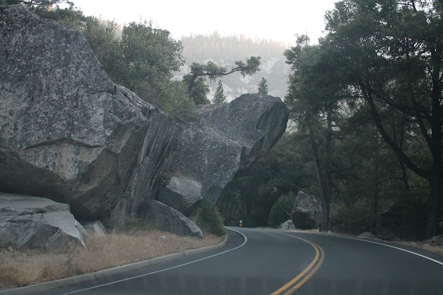
In such a steep-sided canyon with a seasonally violent river, highway 140 coming to Yosemite from the west undergoes fairly regular reconstruction. This is rockfall mitigation west of El Portal that entailed a one-lane detour.At some point a highway engineer could have decided to clear out the overhanging rocks and boulders, but I'm glad they didn't. The road into Yosemite has old-time charm and a certain raw quality to it.
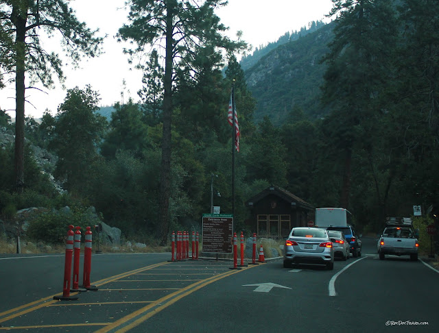
The west entrance is rather small and plain for such a majestic and popular national park. The traffic markers are for busy times.
Duck!
I'm glad they left this rock as it is. We gain appreciation for the nature and power of the place when we have to deal a bit with it in its unaltered state.
Geology of Yosemite Valley
Yosemite is nearly all granite, but that doesn't mean it's all the same. The geologic map above is from the Park's website, and it shows the major rock bodies that make up the bedrock. Cathedral Rocks look different from other cliffs, and guess what -- they're made of different rock! The map unit called granodiorite has more dark minerals than granite. The dark green pattern that includes gabbro and "mafics" are the dark gray to black igneous rocks.
The granites of the Sierra Nevada mountains formed mostly between 120 and 85 million years ago when the North American plate was colliding with an ancestor of the Pacific plate in California. The oceanic plate subducted under North America, forming a volcanic mountain range much like today's Andes. The granites of Yosemite are the roots - the magma chambers - under that volcanic mountain range. Since about 17 million years ago, the Sierra Nevada mountains have been uplifted, eroding away the volcanoes and exposing their deep roots.
The granites were assembled as individual magma bodies called plutons. They coalesced in the crust much like the rising blobs of wax in a lava lamp. Later ones sometimes intruded into older ones. Yosemite includes more than 35 plutons, and many more dikes (fracture-fillers) and small intrusions.
Yosemite is a glaciated valley. Earth has been in ice ages 90% of the past 2 million years, and as a result most of the landscape around us at higher latitudes is mostly glacial in origin. Because ice is solid and can accumulate to great thicknesses, it erodes valleys and mountains quite differently than water does. Glacial valleys have flat bottoms, whereas stream-cut valleys have narrow, V-shaped bottoms. Glacial valleys have cliff sides, whereas stream-cut valleys have sloped sides. Glaciers also commonly form shallow lakes near their ends as they retreat, and these leave behind flat, fertile valleys like Yosemite.
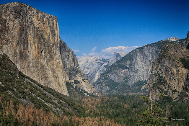
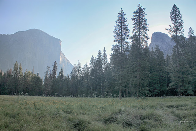
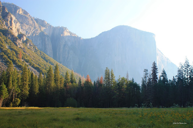
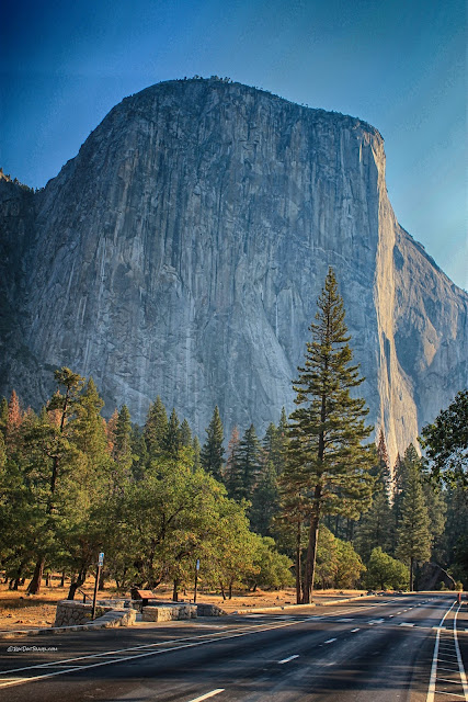
At El Capitan, the huge monolithic cliffs seen here, ice has pulled fractured bedrock away, leaving only the most solid rock as cliffs. The mostly vertical bedrock fractures in Yosemite created prime conditions for high cliffs.
To me the remarkable thing about Yosemite's glaciation is that it is low elevation. At 4000 feet, this glacier was lower than nearly any other at this latitude in North America. The reason is the huge source area, the Sierra to the east all the way to the crest of the range. The major reason ice could survive at such low elevations is that a huge volume was constantly being pushed through the valley from up higher.
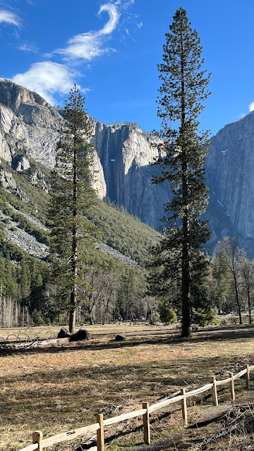
Here's a similar view in April of a wet year. Note Ribbon Falls between the trees at left.
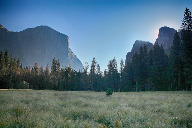
But the bedrock fractures are not uniform in orientation or abundance. Across from El Capitan are the Sentinel and Cathedral Rocks. These formed where fractures were a bit more abundant and the bedrock a little different, giving ice finger-holds into more bedrock, pulling it away and leaving behind narrower towers.
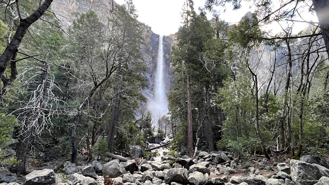
Bridal Veil Falls in April of a wet year. It puts out quite a rush of mist at high flow! This waterfall is the clearest example of flow from a hanging valley.
El Capitan rises about 3000 feet (about 900 meters) from the valley floor. Watch for climbers in good weather - you'll need binoculars or a telescope to see them on the huge cliffs.
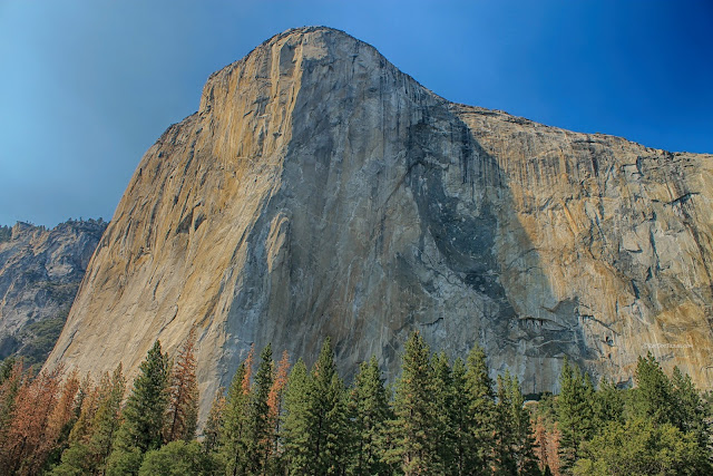
Here's a view of El Capitan in afternoon light.
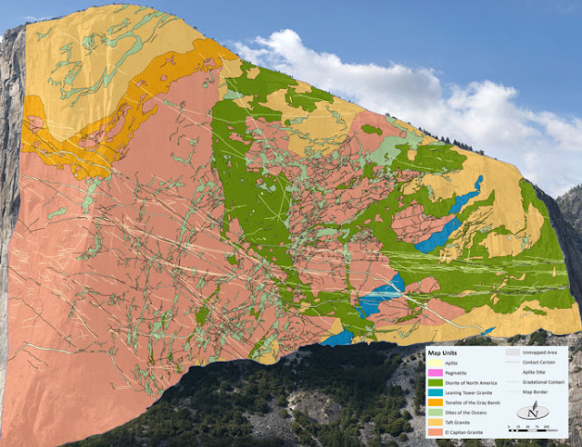
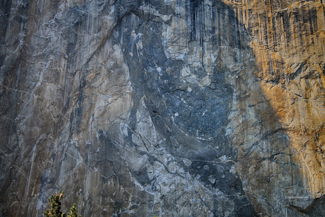
Here's a close-up of granodiorite (the dark rock) intruded into granite on El Capitan. This corresponds to the upper dark green unit in the figure above. You can see light-colored granite blocks inside the dark granodiorite, where they mixed or were carried by rising magma. This view is still nearly several hundred feet tall.
We were fortunate to catch this amazing sight -- a waterfall on El Capitan. There was so much snow up high that water was pouring into the valley wherever it could, including places like this that are normally not waterfalls.
But the bedrock fractures are not uniform in orientation or abundance. Across from El Capitan are the Sentinel and Cathedral Rocks. These formed where fractures were a bit more abundant and the bedrock a little different, giving ice finger-holds into more bedrock, pulling it away and leaving behind narrower towers.
Bridal Veil Falls in April of a wet year. It puts out quite a rush of mist at high flow! This waterfall is the clearest example of flow from a hanging valley.
El Capitan rises about 3000 feet (about 900 meters) from the valley floor. Watch for climbers in good weather - you'll need binoculars or a telescope to see them on the huge cliffs.
Here's a view of El Capitan in afternoon light.
A detailed geologic map of El Capitan was completed not long ago by a team of rock-climbing geologists. It shows that the mass is actually several granites and related rocks interlaced and intruding one another. NPS diagram.
Here's a close-up of granodiorite (the dark rock) intruded into granite on El Capitan. This corresponds to the upper dark green unit in the figure above. You can see light-colored granite blocks inside the dark granodiorite, where they mixed or were carried by rising magma. This view is still nearly several hundred feet tall.
We were fortunate to catch this amazing sight -- a waterfall on El Capitan. There was so much snow up high that water was pouring into the valley wherever it could, including places like this that are normally not waterfalls.
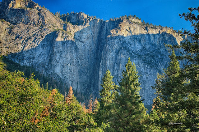
Just west of El Capitan is Ribbon Falls. It's a bit shocking to visit Yosemite during a severe drought and see no waterfalls in the valley! This was August, 2016.
How deep was the Ice Age glacier in Yosemite Valley? Just look at the waterfalls like Ribbon, Bridal Veil, and Yosemite. Their tops were the top of the glacier. More than half a mile-thick glacier is hard to imagine!
Here's Ribbon Falls on an April morning in a wet year (2023). In Spring, the waterfalls grow bigger as the day warms, so make sure to see them in the afternoon & evening.
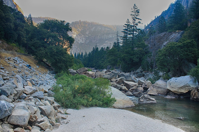
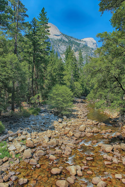
Even in the drought, the Merced River was still flowing, if small. Take the time to get out and wander along the river! You'll find amazing and soothing vistas.
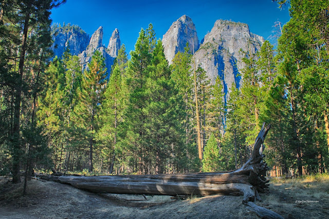
The Cathedral Rocks across from El Capitan were formed by ice working on fractures to remove bedrock. What appear to be towers are elongated fins trending northeast like the fractures and boundaries between different granite bodies. As you'll see below, Half Dome's famous cliff face has this same orientation because it formed on fractures with the same orientation.
Have you ever been to something you couldn't stop taking pictures of? El Capitan is so utterly captivating (like many places in Yosemite!) that every different view will stop you in your tracks. This is a good view of the smooth cliff face.
The sand in the bottom of the picture is the Merced riverbed in drought.
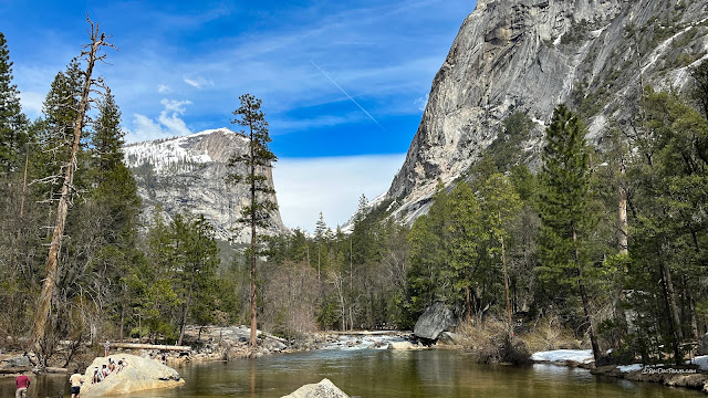
This location is at the Sentinel Beach picnic area off the main eastbound park road (Southside Drive). The view is usually famous for reflections of El Capitan off the river, but those were hard to come by during the drought. I took the first picture at the top of this page near here.
Here's the same place in April of a wet year.
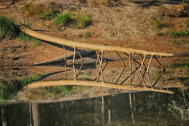
What has 14 legs and walks on water?
No other road in the world gives you views like this!
Views in Yosemite Valley change hourly. I like the drama of morning and evening, when the sun is low.
One of the world's great waterfalls, Yosemite Falls, goes dry when the drought is really severe. What a huge loss! I recommend going to Yosemite early in the summer or in spring when the water is flowing highest. I vowed to revisit early in a very wet year...
That's better! April of a wet year. Yosemite Falls and Yosemite Point are majestic examples of the interplay between bedrock fractures and ice. The cliffs are highest and smoothest where fractures are fewest, and clefts form where fractures are most abundant.
Yosemite Falls! Take the time to walk around to find the best views! Like Ansel Adams said, the key to a good photograph is "I stand in the right place at the right time."
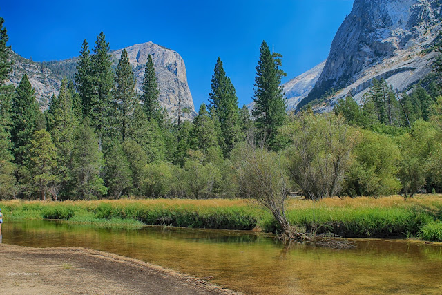
In a non-drought year, there would be people swimming or wading here.
The same stretch of the Merced River in April of a wet year.
As you get farther up the valley, you begin to see more and more exfoliation - the breaking of bedrock into sheets that fall off to form onion-like domes and arches. Exfoliation is the natural result of greatly reducing the pressure on brittle rocks that were once buried deep in Earth's crust - the rock expands, but being brittle, it breaks into slabs. The Sierran granites were uplifted by several km in the mountain range. The slabs are about parallel to Earth's surface because that is the direction the rock can expand.
The Royal Arches east of the valley visitor center are examples of exfoliation. The bottom parts of exfoliation slabs have broken off and dropped away, leaving the remaining parts of the slabs hanging on the cliffs. Eventually they, too, will fall. Rock avalanches are common in Yosemite, and represent a significant natural hazard.
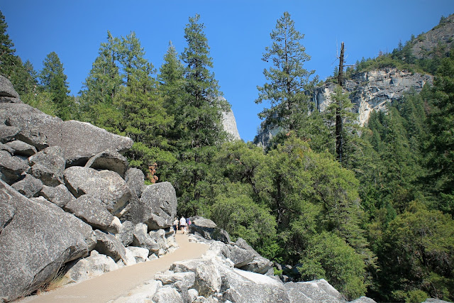
Boulders are the name of the game for Yosemite's hiking trails. You'll wind around them wherever you go. This is one of the trails to Mirror Lake.
Don't bother putting your camera in a bag or in its case! You'll be getting it out every few minutes to capture the countless vistas as beautiful as this.
The trail to Mirror Lake takes you to this awe-inspiring view of Half Dome's imposing cliff. The lake goes completely dry in drought years. The trailhead is located here: 37.739813, -119.564138
In a non-drought year, there would be people swimming or wading here.
The same stretch of the Merced River in April of a wet year.
The Royal Arches east of the valley visitor center are examples of exfoliation. The bottom parts of exfoliation slabs have broken off and dropped away, leaving the remaining parts of the slabs hanging on the cliffs. Eventually they, too, will fall. Rock avalanches are common in Yosemite, and represent a significant natural hazard.
Boulders are the name of the game for Yosemite's hiking trails. You'll wind around them wherever you go. This is one of the trails to Mirror Lake.
Don't bother putting your camera in a bag or in its case! You'll be getting it out every few minutes to capture the countless vistas as beautiful as this.
The trail to Mirror Lake takes you to this awe-inspiring view of Half Dome's imposing cliff. The lake goes completely dry in drought years. The trailhead is located here: 37.739813, -119.564138
Mirror Lake in April of a wet year.
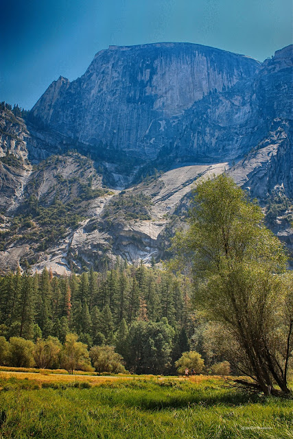
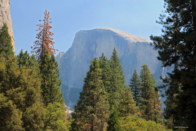
Look closely at Half Dome's summit and surrounding slopes, and you'll see that exfoliation is quite pronounced here, especially on the lower slope in the sunlight. Here as in all of the park, the vertical black stains on the granite are mineral deposits from running water.
A close-up of the exfoliation fractures in Half Dome's granites.
You can reach Mirror Lake by bicycle on a paved road, and handicap vehicle access is available. Beyond here are only hiking trails and more awe-inspiring sights.
Mirror Lake in April of a wet year.
One more view of Half Dome and its impressive exfoliation joints.
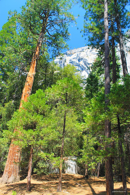
Yosemite is the Land Of Vertical - high cliffs and tall Ponderosa and Incense Cedar trees everywhere. It will have you always looking up.
A view of Half Dome from near the Hotel Formerly Known As Ahwahnee.
The Majestic Yosemite Hotel is everything its reputation says it is. The location beneath towering cliffs and so close to Half Dome and trails galore makes it a truly unique place to stay - not to mention the spectacular architecture!
Keep your eyes on the granite, and you'll find dikes like these. Most are a quartz-rich variety of granite that formed late in the igneous history and followed cracks through the rock. Climbers like them when they offer hand-holds.
Yosemite owes its marvelous meadows to its glacial past, when glacial moraines ponded melting icewater and it deposited flat sediments across the valley.
A view of Half Dome from the upper valley.
Exfoliation tends to round off the bedrock, like the two bald heads in the background of the Merced River here.
In a wet year.
Illiouette Falls from the John Muir trail to Vernal Falls.
The John Muir Trail from Half Dome Village to Vernal Falls is a wide, paved challenge to the average person. It includes some 1/2 mile long very steep sections, but you will see people of all ages giving it a go. The parking lot for this part of the park is located here: 37.735336, -119.566480
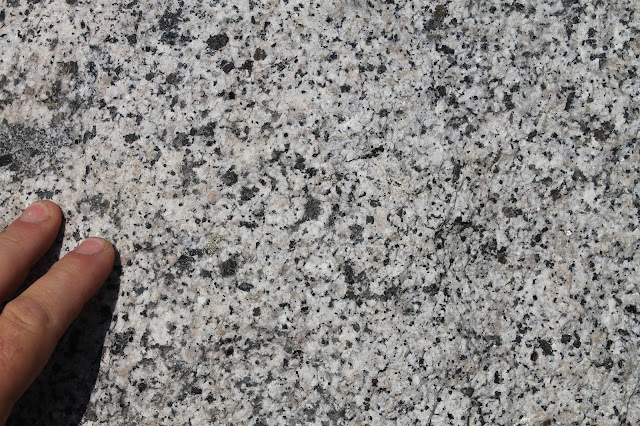
Here's a close-up of the granite. The black minerals are biotite (a mica) and amphibole. The white mineral is plagioclase feldspar, and quartz is the glassy mineral.
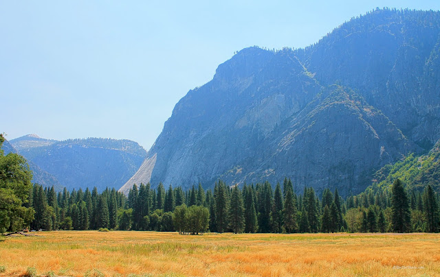
The meadows near Yosemite Point.
How many synonyms for "wow" can you come up with?
The Cathedral rocks in afternoon sun.
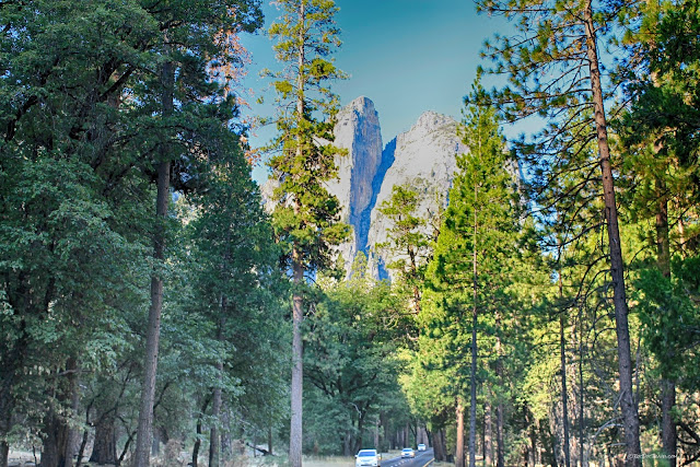
Cathedral Rocks are made of granites that are slightly different from the rest of the valley, but you can only see the difference up close. The difference does contribute, however, to the unique shapes in these towers.
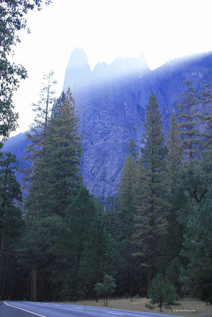
Here's a view of the Sentinel in afternoon light.
The Cathedral Rocks (left) and the Sentinel in the central part of the valley.
One of the great views in Yosemite is from Tunnel View on the road to Glacier Point. Don't miss it! This view really shows the U-shape of the glacial valley. The tunnel view parking lot is located here: 37.715650, -119.677336
Illiouette Falls from the John Muir trail to Vernal Falls.
The John Muir Trail from Half Dome Village to Vernal Falls is a wide, paved challenge to the average person. It includes some 1/2 mile long very steep sections, but you will see people of all ages giving it a go. The parking lot for this part of the park is located here: 37.735336, -119.566480
Here's a close-up of the granite. The black minerals are biotite (a mica) and amphibole. The white mineral is plagioclase feldspar, and quartz is the glassy mineral.
The meadows near Yosemite Point.
How many synonyms for "wow" can you come up with?
The Cathedral rocks in afternoon sun.
Cathedral Rocks are made of granites that are slightly different from the rest of the valley, but you can only see the difference up close. The difference does contribute, however, to the unique shapes in these towers.
Here's a view of the Sentinel in afternoon light.
The Cathedral Rocks (left) and the Sentinel in the central part of the valley.
The same view in April of a wet year. Notice Bridal Veil Falls at right, flowing from a hanging valley, and the lack of brown pines.
Related Posts: Search for California, National Park, or Glacier
