England: The Birth of Modern Geology
In the Footsteps of William Smith, Father of Modern Geology
William Smith created the first geologic map of any significant extent -- it covered England and Wales! As a surveyor for coal mines, estate lands, and canals in the region of Bath, England from the 1790's to early 1800's, he made key observations and brilliant interpretations that revolutionized our concepts of the rocks at Earth's surface.
Born in ordinary circumstances, William Smith struggled to be recognized as a credible scientist. Therein lies my personal hero admiration for him. At the time, science was the domain of the aristocracy. Wealthy men had the time to sit and ponder, and on occasion get out and explore. A major weakness in this approach was the lack of experimentation and gathering evidence, and of accumulated expertise. Profound, sometimes world-wide conclusions would be drawn from a single rock or outcrop, usually with results we find amusing today.
William Smith's approach was different. He got his hands dirty. He made proposals (hypotheses) and tested them. He gathered copious amounts of evidence. In this aspect, he was a pioneer of modern science, not just Geology.
What Did William Smith Contribute?
William mapped the bedrock in coal mines and along canals he was hired to survey west of Bath. Unlike anyone in the world before him, he recognized that the rock layers (sedimentary rocks) were continuous across the region, always occurred in the same ordered stack, and each contained a unique set of fossils. That was The Great Epiphany from which all the rest of geology sprung. He took this new understanding and tested it by attempting to make a geologic map -- the First geologic map -- of the Bath area in 1799, and see whether his hypothesis made sense. It did, and he spent the next three decades walking across England to create and update the first geologic map of the country -- of any country -- which he first published in 1815.
We still rely on William Smith's foundation today. Without the understanding of Earth that he originated, we would not be able to explore systematically for underground resources like coal, metals, petroleum, groundwater, and even building stone and gravel. Without it, our ability to deduce the history and age of the world would be stunted, as would our understanding of the development of life on Earth. We would not have ever developed Plate Tectonics, the grand unifying theory of Earth. In short, William Smith's work was the essential springboard needed for Geology to become a rigorous and lasting science!
Bath: Geologic Foundations
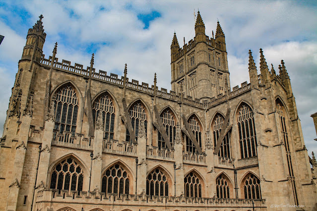
Bath Cathedral. Bath is famous for its golden yellow "Bathstone," which is a limestone quarried locally. As Bath became the resort of the well-to-do, the popularity and prestige of Bathstone increased, and it was shipped all over England. The Houses of Parliament are made of the same Bathstone, located and recommended by William Smith.
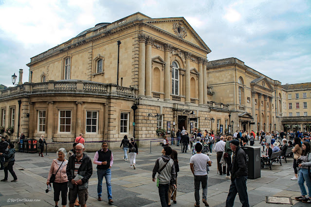
Of course, Bath is most known for the ancient Roman baths. At one point, William Smith was asked to investigate the reduced flow from the famous warm springs. He successfully found and fixed a blockage, to the delight of many in high society.
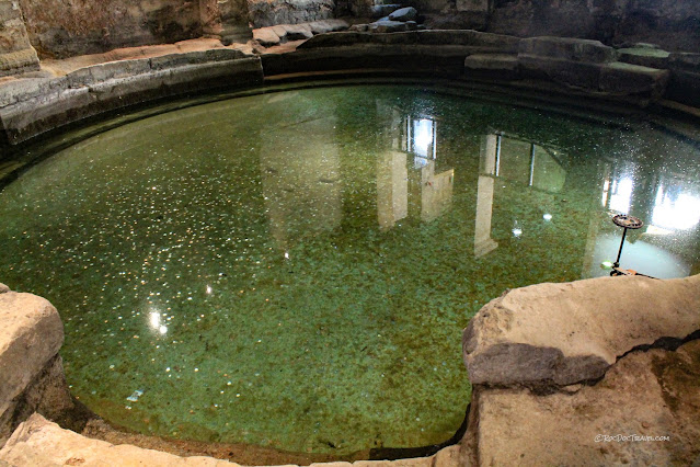
Like all warm springs, those at Bath are rich in minerals dissolved from the bedrock. This orange is from a combination of sulphate, calcium, chloride, sodium, and bicarbonate. It has some legitimate health (bathing) benefits, but not some of the outlandish ones claimed in the 18th and 19th centuries.
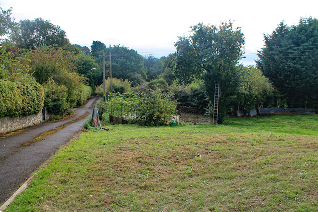
One of William Smith's early jobs in the Bath area was as surveyor in the Mearns coal mine, located near High Littleton, in the hills west of Bath. Here, he developed the world's first stratigraphic column -- a graphic depiction of the ordered stack of rock layers (strata). It has been an essential tool of Geologists ever since. He recognized that both mines, though miles apart, had the same rock layers in the same order and with the same fossils in them. Nothing visible remains of the mine workings, but this is a picture of the site. Location: 51.328155, -2.501001
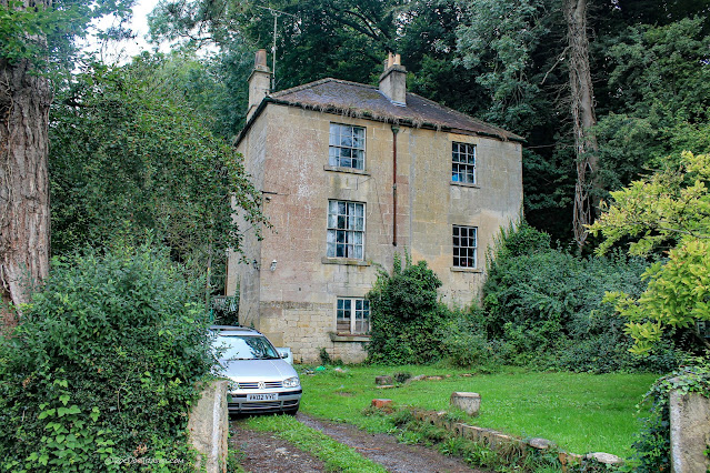
During his work in the coal mines and canals, William lived here at Rugbourne Farm and began to collect his immense and important fossil collection here. It's private property today and not visible from the road, so I did not enter...
...but this is a view from Google Maps. His house was the one with the brown roof near the top center of this photo.
And Google Street View has this view of the house from the driveway. House location: 51.322210, -2.493449
Smith recognized that the canals in the area passed through the same strata in the same order, and he began to project the layers from canal to canal and into the coal mines. He was the first person in the world to recognize that the layers are consistent across broad areas -- a revolutionary concept so profound and yet so foundational that we take it for granted today. But it is the basis of everything in understanding the surface of the Earth!
William Smith later purchased property at Tucking Mill just SW of Bath. Local literature tells all about it.
Tucking Mill is lately reserved for disabled folks, which I hope William would appreciate. It's only a couple of miles west of Bath, across the hill.
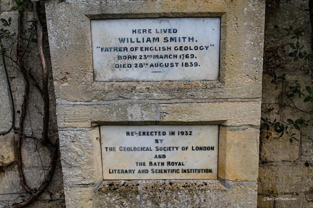
This plaque has long been on the house next to the one William Smith lived in, according to researcher and writer Simon Winchester.
...and this is the house William Smith actually lived in according to Simon Winchester's research. Both houses are private residences. Location: 51.352662, -2.337689
I think it curious that the British government and scientific societies have not preserved these historic homes and opened them to the public. They are important scientific landmarks the likes of which other sciences and other governments have set aside to preserve.
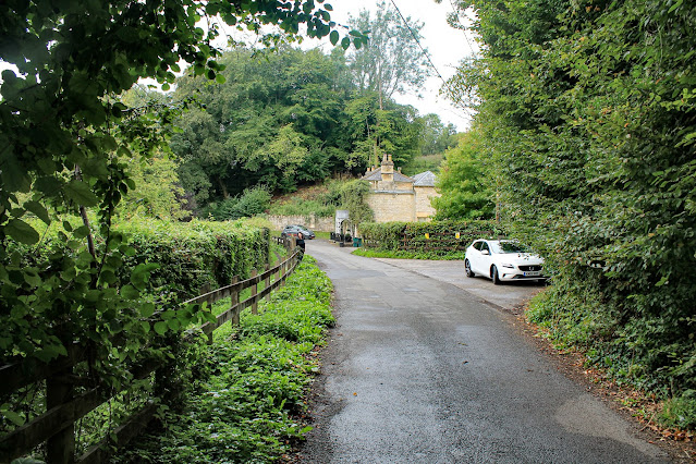
Access to Tucking Mill is this narrow, single-lane road -- another reason these houses should be recognized and made suitable for public visitation. Be extremely cautious if you plan to visit!
York
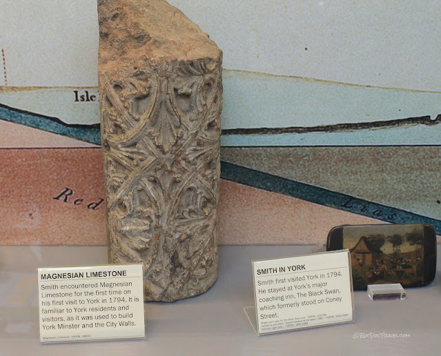
While formulating his scheme for expanding his geologic map across England, William Smith visited York. The stately York Minster, largest Gothic cathedral in northern Europe, was built from 1220 to 1472 of magnesium-rich limestone similar to the golden Bathstone.
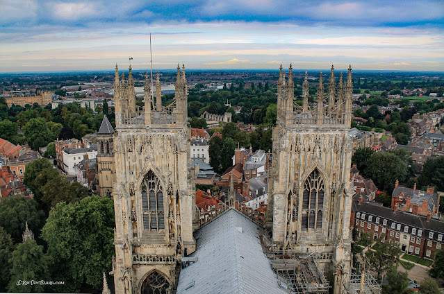
Its 230 foot tower was a marvel for its day, and today offers 360 degree views of York and Yorkshire. York is as charming, scenic, historic, and interesting an English city as could be! I'll have a separate post on the town later.
York Minster, like most centuries-old structures, is in constant need of maintenance. When you visit, you'll see evidence everywhere of an ongoing program of stone replacement. As beautiful and grand as the cathedral is, I was disappointed at how much York Minster has eroded over the centuries, and how dirty most of the stained glass is.
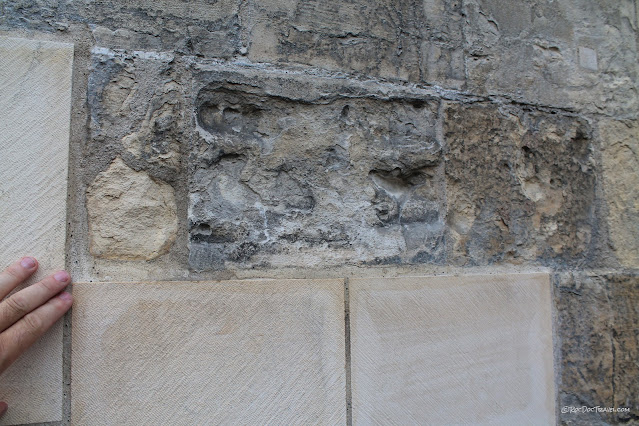
Some thin depositional beds in the limestone are a bit more resistant to weathering than others, as evidenced here. These are where bits of dolomite or quartz were deposited on the seafloor from storms or variations in sediment supply.
More weathering of variably resistant depositional layers.
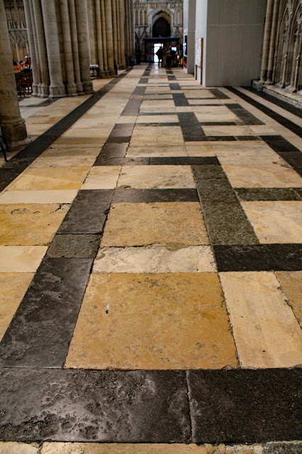
A different kind of weathering is the effects of millions of shoes on the floor. Limestone and marble aren't very durable, but they were easier to locate and cheaper to cut than something harder like granite or quartzite.
When you visit, be sure to pay the fee to climb to the roof and tower!
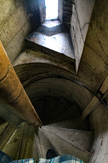
You'll cimb up hundreds of stone spiral steps like these. It's a bit claustrophobic!
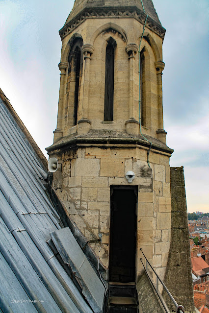
You'll walk among the structure and lead roof, where the antiquity of the cathedral become strikingly apparent by the weathering.

I am enamored with flying buttresses! They were a brilliant stroke of genius from the minds of medieval builders that allowed walls to get taller without buckling outwards.
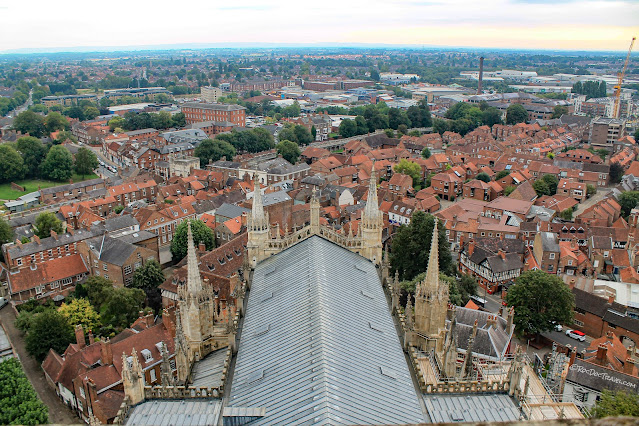
View to the east, showing more of York. Notice the ancient city wall near the far trees. You can walk its entire length.
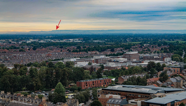
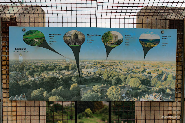
This is a historically monumental view! William Smith brought two interested members of a canal committee (a notable post in 1794) named Palmer and Perkins here, where for the first time he publicly proclaimed and tested his hypothesis about continuity and predictability of strata. Looking northward to the Yorkshire Moors hills, William predicted what rock layers he would find there based on his hypothesis -- not just one layer, but the whole stack of layers and the details of what they would find in each one, and how they compared to the ones he had mapped in canals and coal mines far away near Bath. Traveling to the hills, they discovered William was right, and word began to spread of his amazing work. The arrow points to the ancient Kilburn white horse.
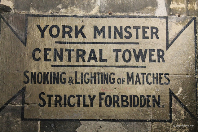
This sign on the York Minster tower shows landmarks.
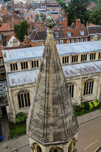
I've always marbled at the durability and engineering of these steep stone roofs.
This is looking straight up in the central tower from the cathedral floor.
Yorkshire Museum's William Smith Display
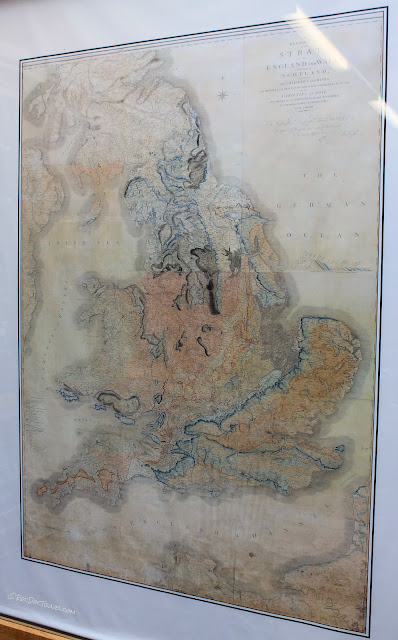
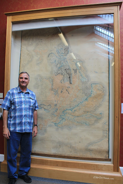
No trip following the footsteps of William Smith would be complete without a visit to the Yorkshire Museum, which houses the most extensive display on the man in England. It includes an original, unrestored copy of his geologic map of England.
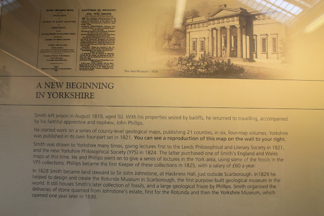
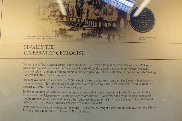
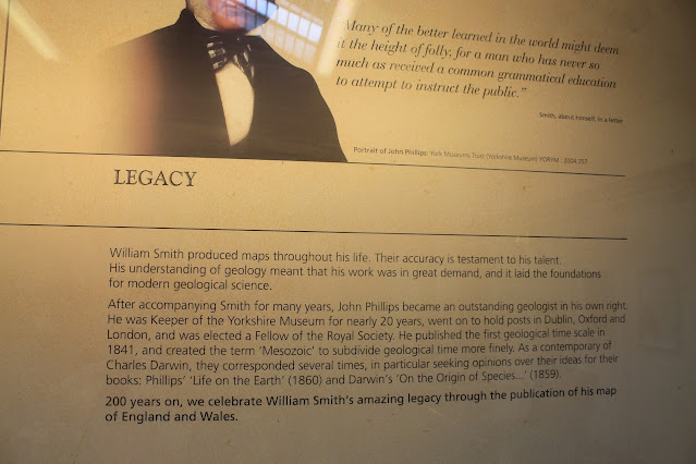
The display is intriguingly extensive, and follows the fascinating series of observations that led to Smith's revolutionary ideas.

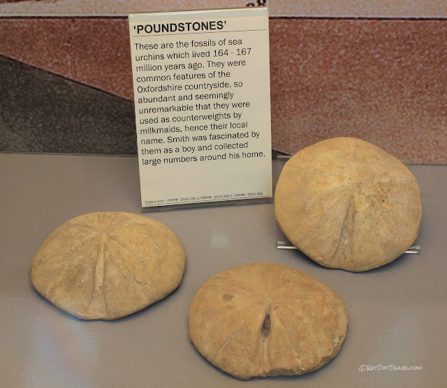
Believe it or not, in the 1700's people didn't often recognize fossils as the remains of living things. These "pound stones" are a good example. They led to one of William's earliest epiphanies about individual strata (rock layers) having unique fossil content.
As a veteran geologist, I'm amazed at William Smith's three-dimensional understanding of the bedrock! He was many decades (if not more) ahead of everyone else.
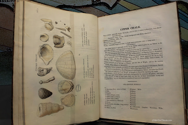
He was very thorough in illustrating and documenting the fossils of England's strata. His publications were so well done, they are still useful today.
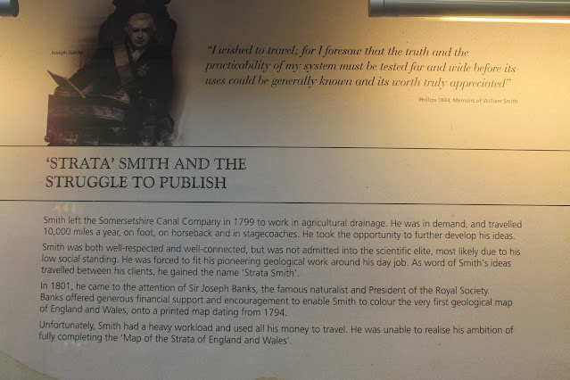
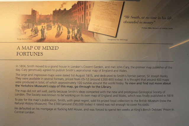
Here's where Smith's story tends to baffle 21st century folk. He did all this brilliant work, documented and published it, and created the world's first national geologic map, and yet was for many years treated as a minor figure and outsider by the government and many scientists because he was "low born," the son of a blacksmith. Science was viewed as the domain of aristocracy, and Smith struggled to be accepted.
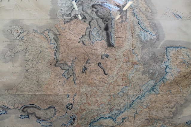
Here, then, is an original, unrestored Geologic Map of England and Wales by William Smith. It hangs in a library room on the second floor (first floor above ground level for you British) of the Yorkshire Museum, and is protected from the deteriorating effects of light by a shade. You must ask museum staff to raise it for you.
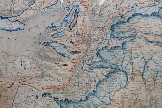
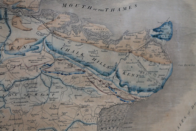
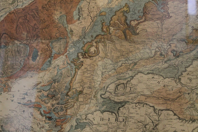
Close-ups of the map show Smith's remarkable geologic details in the Bath area. He invented the coloring style still used in geologic maps today, with the useful addition of solid color at the base of each layer (which I wish we would do today!).
The official title of the geologic map that changed the world is "A Delineation of the Strata of England and Wales With Part of Scotland."
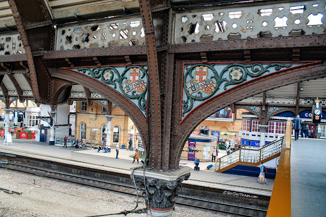
I really enjoyed, too, the marvelous iron work of York's rail station, built in 1841 just 2 years after William Smith's death.
London
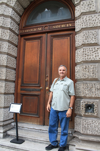
But wait, there's more! The Geological Society, of which William Smith was an early member, displays a copy of his great geologic map. The Society is located with other scientific societies just outside of Picadilly Circus in London. I happened to be there the week an NFL football game invaded.
The Geologic Map is displayed just inside the Society lobby. Ask the kind and capable receptionist to open the curtains for you.
Reflections of the glass are a problem for photographing the map and seeing it clearly. This view from the stairs was as good as it gets. The map on the left is by one of the aristocratic members of the BGS, which some claim was outright plagiarism of Smith's work.
This map has been restored, and shows how the brilliant colors looked originally. This is a close-up of the area around Bath. The modern geologic map of England doesn't vary appreciably from this!


In summary, William Smith was one of the most significant scientists of the 19th century. He invented the science of stratigraphy (the study of strata), which is a core of Geology, and his work catapulted geology forward like few have done since. His work was the essential foundation for later important work by Lyell, Darwin, and others.
Related Posts:
Topics: England
More Reading:
"The Map That Changed the World" by Simon Winchester, available at book sellers everywhere. Highly recommended!
You can purchase a copy of William Smith's geologic map at the British Geological Society: https://www.bgs.ac.uk/discoveringGeology/geologyOfBritain/archives/williamsmith/publications.html#map1815

