Switzerland: Aletsch Glacier
Aletsch Glacier, Switzerland
Explore the Alps' longest glacier!
Travel to Aletsch Glacier
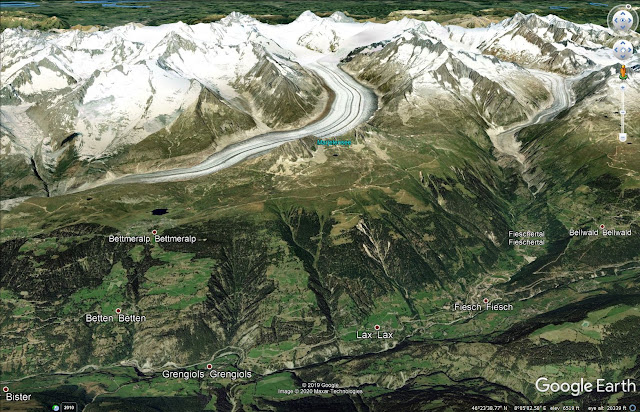
Aletsch Glacier is located south of Bern in central Switzerland on the south side of the northern Alps. Driving, you enter the Rhone valley from the west via Montreux and Martigny, and continue east along the Rhone River through Sion and Visp to the winding mountain road up to Lax and Fiesch.
Interactive Google Map of Fiesch & the Aletsch Glacier area
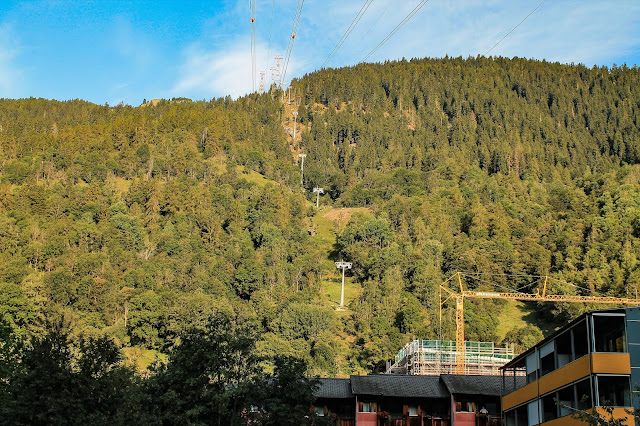
This is the tram up from Fiesch. You can't see the mountain from down here.
Fiescheralp, the top of the tram, is the take-off point for several trails around the mountain and down to the glacier. It has restrooms and a restaurant.
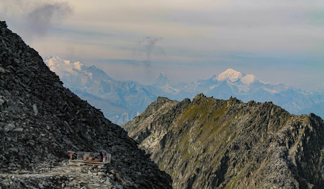
The peak is pretty typical for this elevation and climate -- bedrock broken into boulders by ice wedging. It has a terrific view to the southern Alps, including the Matterhorn.
Geology of Aletsch Glacier
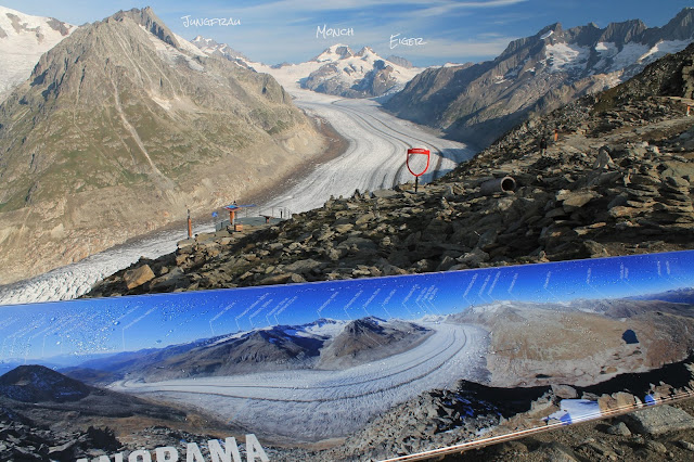
Like so many places in the Swiss Alps, Fiescheralp has good interpretive signs like this one. Three of the Alps' most famous peaks are at the top of Aletsch Glacier -- the Eiger (mostly hidden), Jungfrau, and Monch. Lauterbrunnen Valley is on the other side of them.
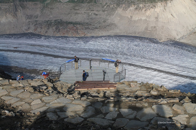
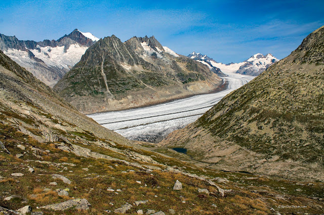
The observation deck has a great panoramic view of Aletsch glacier. You can see the lateral moraine on the far side of the ice, and a large medial moraine in the middle.
The surrounding peaks were all glaciated in the past, and still have glacier remnants high in their cirques. The two shallow, steep U-shaped valleys in the upper center of this photo are young, developing glacial valleys. The deeper canyon on the right was dug by a large glacier. You can also see the "high ice mark" on the far hillside, the ice level in centuries past.
Looking northeast from Fieschalp are more small glaciers high in the cirques. The knife-sharp ridges between U-shaped valleys are called aretes. A peak that is carved out between cirques is called a horn. The big peak on the right is Gross Wannenhorn, and the one on the left is Fiescher Gabelhorn.
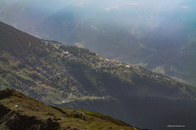
Looking down to the southwest, this is a good example of a village on an "alp" -- a high mountain meadow. It's called Bellwald, and it's accessible by road and tram on the other side of Fieschgletscher (glacier and canyon). It's also the base station for a long tram up the mountain. I'm sure the skiing here is outrageously good, with huge wide-open slopes.
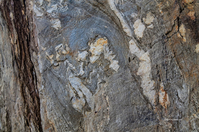
The gneiss also has folded layers that show how internal deformation took place.
The Hike to Aletsch Glacier
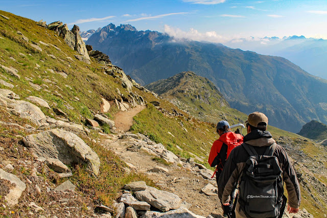
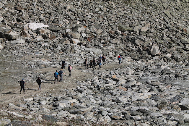
The hike to Aletsch Glacier from Fiescheralp is a moderately strenuous, rocky descent of about 1800 feet ( m) over xx miles ( km). The tree line in the Alps is quite a bit lower than what most Americans are used to -- only about 7000 feet ( m) here, compared to around 10,000 feet in most of the Rockies. It varies regionally, but is a function of temperature and climate variability in the recent past.Ice is powerful! It relentlessly works bedrock fractures loose, breaking up the gneiss into boulders. In glaciated areas down lower, these all get carried away by the ice.
Hope you like Rocky Road!
You'll be treated to uncountable stunning views along the hike. At the head of the glacier, that's Jungfrau on the left and the Monch on the right.
The stripes on the mountainsides here mark past levels of the ice. The lower ones are bare, because the ice was there at the end of the "little ice age" in about 1800.
The Swiss really know how to manage their mountains! This hut/cafe comes as a welcome relief after your rocky descent.
There's food and water available at the Gletscherstube.
Hike another half mile from the hut to the glacier.
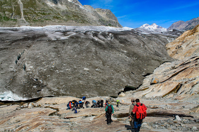
The glacier seems to get bigger and bigger as you approach, bigger than you expect, until it's this huge monster filling the valley. Look how rocky it is! Those rocks & dirt fell onto the ice farther up the valley, and have been carried down as the ice moved (it's a lateral moraine). A glacier is a big conveyor belt.
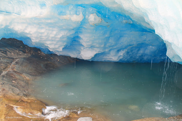
Yup, glacial ice is blue!
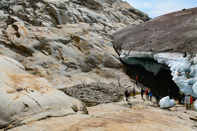
Just don't go beneath the ice! That big hunk of ice the man is looking at fell while we were there, missing one of our geologists by only inches.
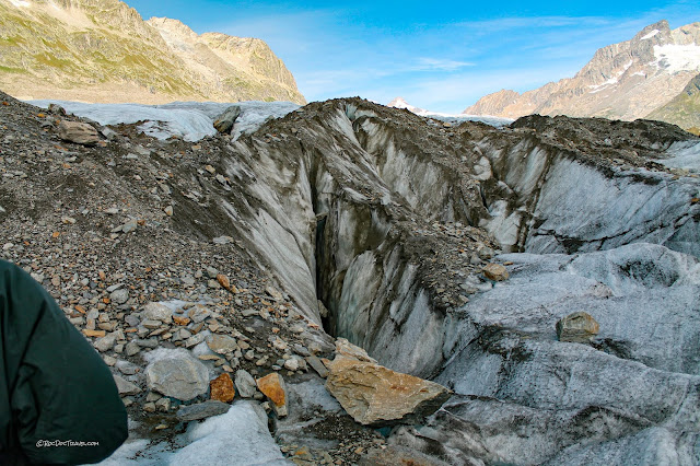
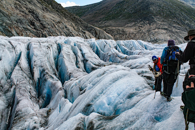
Gravel protects the ice from melting. This one is a medial moraine, formed where two glaciers merged upstream. Local extension in the ice has broken it into crevasses.
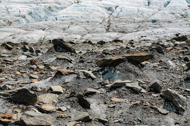
Each rock shades the ice below it, forming this unique, other-worldly scene. You get a sampling of the bedrock upstream by examining the moraine rocks.
On the medial moraine.
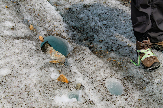
Some of these little puddles have rare insects swimming in them.
Gravel cones like this form when dirt & rock fall through a crack or hole in the surface of the ice, and water distributes the gravel around in the ice. As ice melts around it, the gravel falls into a pile.
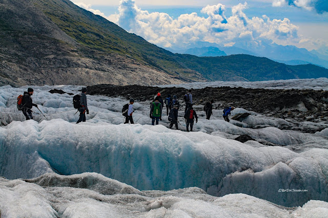
Hiking parties on the ice are loosely roped together to catch anyone should they fall into a crevasse. The downside is that your whole group has to move at the same pace, which is difficult around the crevasses and on climbs.
We were lucky to have a highly experienced guide to take us through the crevasse maze. It isn't easy, in part because you often cannot see what's on the other side of the uneven ice. Our guide had led climbers to the summit of the Matterhorn over 40 times!
One thing you'll notice being on the ice is the wind. There's a constant flow of air down the ice, and it makes a substantial wind chill. The scenery all around is terrific. This view is down the glacier to the southwest.
The Path Back
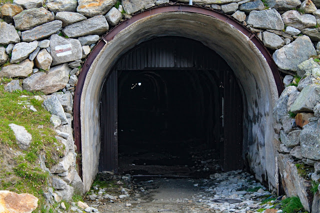
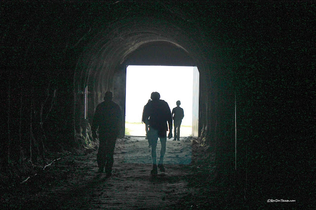
Fortunately, you don't have to hike all the way back up to the top of Fiescheralp. This tunnel is near the Gletscherstube, and takes you south through the mountain to mid-level in the ski area. It's several hundred meters long.Yes, there is indeed light at the end of the tunnel.
The tunnel goes through the gneisses very nicely.
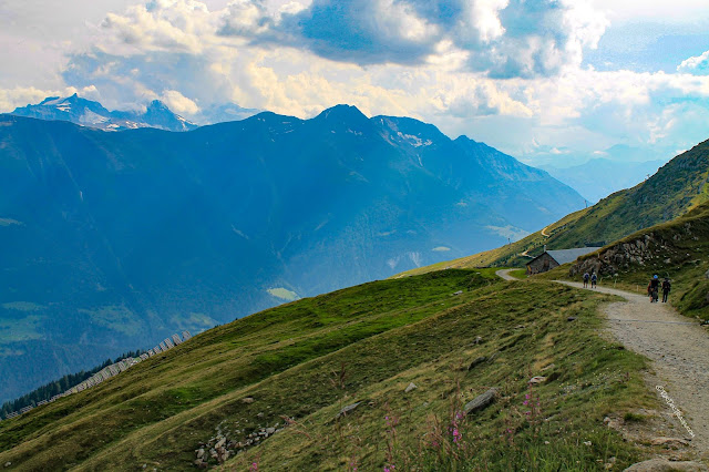
Like everywhere in Switzerland, grazing animals wander the hillsides, their bells swaying melodically. The sound of Switzerland is the sound of cowbells!
The path traverses the ski area above Fiesch.
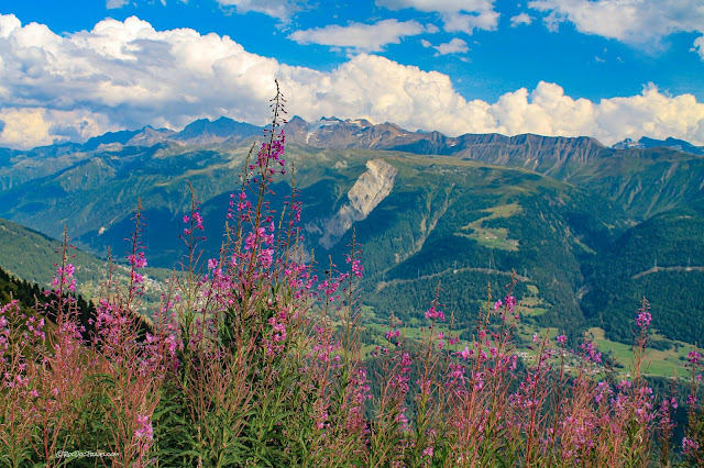
Geologists joke that every good presentation should end with a sunset or flowers. So here you go!
Related Posts: Key word Switzerland


