Switzerland: Lauterbrunnen Valley
Lauterbrunnen Valley, Switzerland
Explore the Alpine valley that Yosemite wants to be when it grows up!Why Visit Lauterbrunnen Valley?
This is the most stunning, interesting, varied, and charming valley in the Alps! Along with the Matterhorn, this is The Must-See place in Switzerland.It's a glacially carved valley like Yosemite in California, but with full Swiss charm -- chalets, flowers, grassy meadows and hillsides, trams and lifts to the high alps and villages, unique waterfalls, fantastic hiking trails everywhere, and great accessibility.
Travel to Lauterbrunnen Valley
Google Earth view to the north. The valley is easily reached south of the popular lodging & recreation town of Interlaken.Looking close into Lauterbrunnen Valley, you can see its incredible cliff sides and the high alps (meadows) where Murren and Gimmelwald drip with Swiss charm.
Interactive Google map of Lauterbrunnen Valley. Zoom in or out.
Flights Zurich airport is one of Europe's great travel hubs, and because affordable flights there are available from all over the world, it's the one I recommend.
Vehicles You can rent a car in Zurich or Bern or Geneva and drive right into the valley. Swiss trains are also frequent, timely, and convenient all over the country.
Lodging Interlaken is the closest sizable, full-service town, and has a wide variety of lodging options from humble to kingly.
Getting Around You'll want to take a tram or two up into the high alpen villages of Murren and Gimmelwald.
Geology of Lauterbrunnen Valley

Lauterbrunnen is a glacially carved valley like Yosemite in California, but with significant differences. First, the bedrock here is layered, slightly tilted Jurassic sedimentary rocks while Yosemite is unlayered granite. Second, this valley is noticeably deeper, surrounded by 11,000 foot peaks visible from the valley floor.
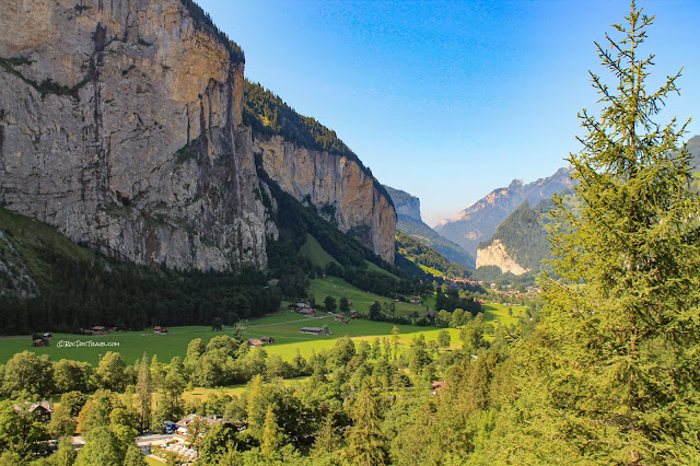
Looking up the valley toward the Breithorn.
The Alps formed when the African continental plate collided with the European plate beginning about 70 million years ago, and lasting until just a few million years ago. The result was intense folding and faulting of the sedimentary rocks and their deeper counterpart igneous and metamorphic rocks. At Lauterbrunnen, you're in the shallow part of the mountain-building event. More deeply buried rocks are mostly farther south (see my other Switzerland field trips).
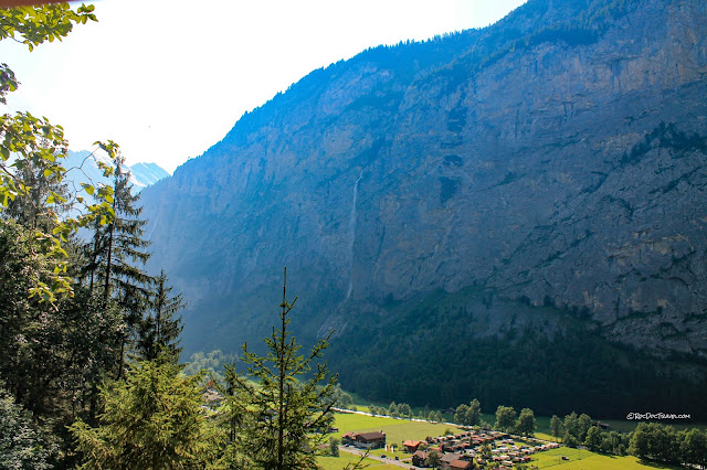
The north wall is over 2700 feet (820 m) tall here. During the last ice age, ice was this deep.
Most of the bedrock here is the Dogger limestone, Jurassic in age. It formed on the seafloor that once existed here. It has since been uplifted and thrusted northward, creating the northward tilt in Lauterbrunnen Valley.

Trummelbach Falls

Trummelbach falls is inside this narrow notch. The entrance is circled, where you'll take a tram up and return down many sets of stairs.
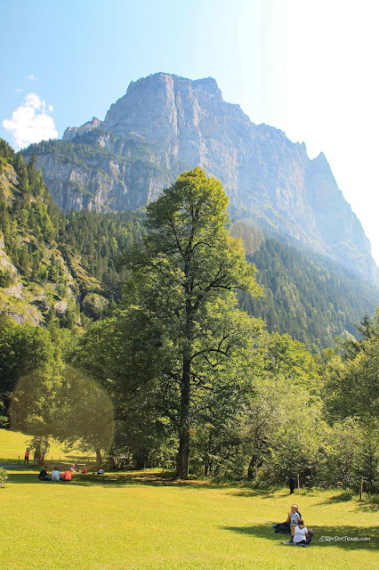
The grounds at the entrance to Trummelbach falls are delightful for picnicing!
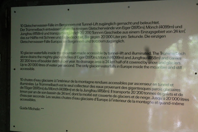
Here's the park's summary of the 10 waterfalls you'll see.
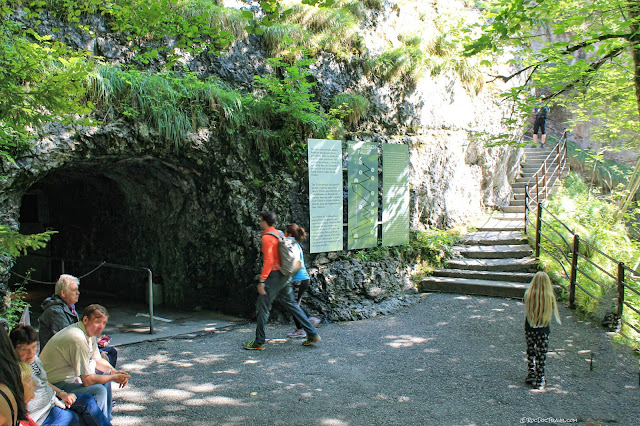
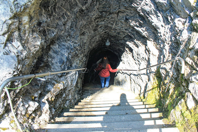
You take the tram inside this cavern, and can return there or down the stairs on the right.
I'm convinced the Swiss would tunnel anywhere! This is the steep ascent of the railway.
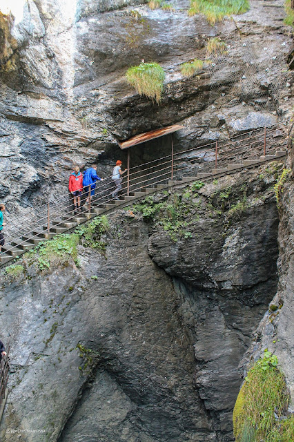
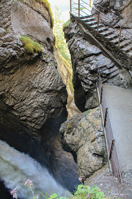
You'll take stairs and walkways into the narrow Trummelbach gorge, all the while enveloped in the drumming thrum.
Over the millennia, sand and rocks in the stream have carved this narrow, winding notch down into the limestone bedrock. This would have been impossible in harder bedrock like the granite at Yosemite.
The many falls create the famous loud, deep bass drumming sound.
Blue light filtering from the narrow sky above (and augmented by electric lights) lights these falls.
Artificial lighting in Trummelbach is tastefully limited, used only to show visitors beautiful features.
You can see older, previous winding channels carved into the rock above today's stream.
These white fractures are called "en echelon shear fractures." "En echelon" means "shingled." They form when limestone is slightly sheared, like during folding or nearby faulting. In this case, the rock was sheared slightly up on the left side relative to the right.
The view out of the gorge shows breath-taking, huge cliffs.
This tunnel is in the lower gorge, and leads down to still more falls.
This is the bottom of the gorge. I love the close accessibility!
Murren
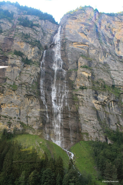
Taking the tram from Stechelberg in the valley up to Gimmelwald, you'll get this terrific view of Murrenbachfall, which has a total drop of about 2300 feet (700 m) from Murren above. The yellow weathering film on the gray limestone is typical in limestones, and results from dissolving of minerals with some iron or sulfur content.From Gimmelwald, this is a view of the Jungfrau, Gletscherhorn, and Ebnefluh and their northern glaciers. On the other side is Europe's longest glacier, Alletsch.
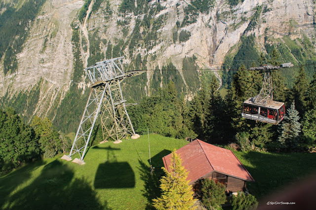
This tram tower at Gimmelwald is on the edge of 2000 foot cliffs! To get to Murren, change trams here.
Here's the south side of Murren, with the imposing valley cliffs and the Eiger in the distance. The Eiger cliffs are a famous challenge for the world's best mountain climbers.
The Schwartzmonch ("black monk") is across the valley from Murren, and sits in front of the Jungfrau.
This local sign in Murren shows the trams, lifts, trains, and roads in the high alp meadows. I love the accessibility of these gorgous mountains!
It's hard to take your eyes off the Eiger.
Murren has this inclined railway up through a tunnel to Allmendhubel and more lifts above. Keep in mind, this is all a ski area!
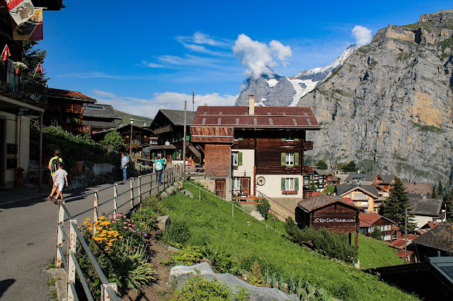
I can't imagine how a village could have more Swiss charm! It feels like welcoming, enveloping arms.
Everything is inclined on the alps, and everything is constructed with deep snow in mind.
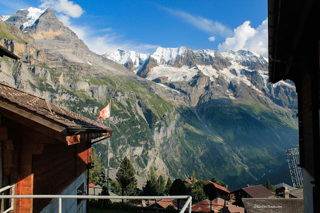
A view SW from Murren. The peaks are, left to right, Gletscherhorn, Ebnefluh, Mittaghorn, and Grosshorn. Europe's longest glacier, Alletsch, is on the other side of Gletscherhorn.
A closer look at Gletscherhorn and Ebnefluh and the glaciers below them. The bare bedrock marks where the glaciers have been in past centuries.
Boy, do all the houses in Murren have a world-class view!
Lodging, restaurants, groceries, ski shops -- Murren is a full-service town for visitors.
Another look up at the imposing Schwartzmonch.
We took the narrow road (walking) down from Murren to Gimmelwald. We were passed by a few farm trucks like this one hauling hay.
The Eiger.
Gimmelwald
You descend from Murren's 5350 ft (1630 m) elevation down to Gimmelwald's 4500 ft (1370 m). The view just never quits!In the cliffs below the Glescherhorn glaciers, you can see a layer of white limestone.
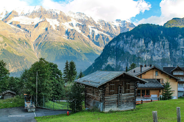
Gimmelwald is smaller than Murren, but still has some lodging available.
Looking up the "main street" in Gimmelwald.
The tram drops suddenly over the 2000 foot tall cliffs to get back down into the valley. It's quite a thrill!
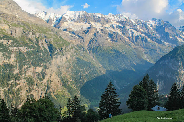
Looking south up the valley from the tram. Wow! There are well marked, mapped, and labeled hiking and biking trails everywhere, so if you're so inclined look them up!
<end>


