Venice Part 2
Venice Subsidence and Flood Control
As one of the world's most beautiful and historically important cities, Venice is certainly worth saving. What is being done, and at what cost?
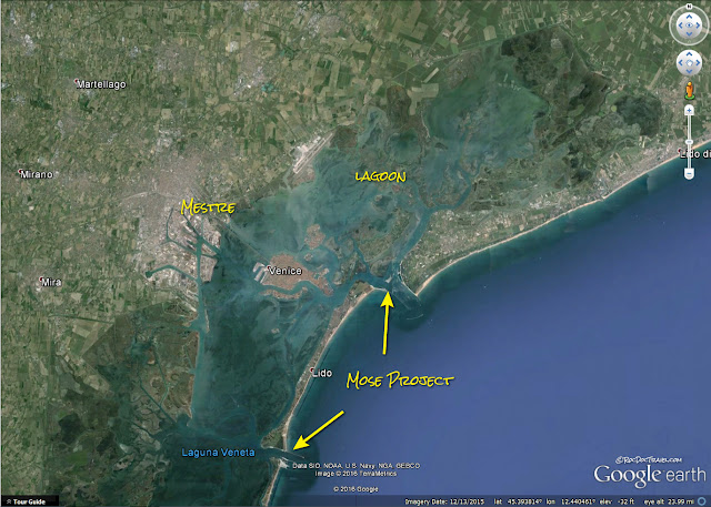
(Above) The Venice Lagoon is separated from the Adriatic Sea by barrier islands, the main one of which is Lido. The Mose Project will create barriers that can be raised during high storm tides at the island gaps. This will protect Venice from flooding.
Travel to Venice
See my first post on Venice.City Pass information (highly recommended!): Click here.
Lido Bus information: Click Here
Geology of Venice
Venice is actually a collection of islands gradually built together.
For decades, groundwater was pumped from under Venice and the surrounding lagoon for the city's water supply. This caused the subsurface sediments to compact, causing the city to subside. In addition, the tremendous weight of Venice's stone buildings causes compaction and subsidence. Total subsidence in the past century has been about 25 cm relative to sea level, making Venice highly susceptible to high storm tides. Subsidence has ranged from about .6 to 1.6 mm/year.
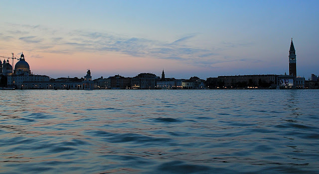
(Above) Twilight on the Venice lagoon.
To try to remedy the situation, groundwater pumping was stopped, and lagoon water was instead pumped into the underground aquifers. This has slowed the subsidence, but has not stopped it.
Venice continues to be plagued by high storm tides from the Adriatic. The controversial solution was the "Mose" (Moses) project, begun in 2003, to construct 78 giant gates at the island inlets to the lagoon (see my maps). Additionally, the islands and lagoon have been reinforced to prevent erosion damage from storms. The gates are designed to rise from the seafloor and keep out a tide of up to 3 meters. The project is projected to cost 5.5 Billion Euros and was to be completed in 2018, but cost over-runs and corruption delayed it past the historic November 2019 floods. Its first test was in December, 2020.
(Above) This amazing Google Earth view shows Venice in its lagoon and the Lido barrier island. The Lido Gap is one of the Mose Project's main sites. Massive gates will rise from the seafloor when filled with air to close out high tides in the Adriatic.
(Above) When the high tide, or "alte aque," hits, these platforms are used as sidewalks. You'll see them all around Venice.
Here are platforms being used during the November 2019 floods. (Associated Press)
Tourists use the flood platforms in St. Mark's square on November 1, 2018 (photo from AP).
St. Mark's square flooded severely on November 1, 2018 (photo from New York Times).
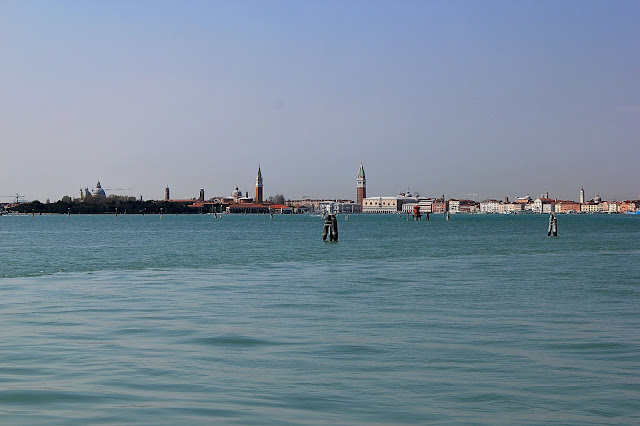
(Above) In this view from near Lido Island, you can see Venice's precarious location at sea level. When building doorsteps are within inches of the water, 25 cm of subsidence (10 inches) means a lot!
(Above) This twilight view highlights how low Venice is relative to the sea. High storm tides put water into the streets and many buildings.
(Above) San Giorgio on the left and St. Mark's tower on the right, looking in from the direction of Lido.
(Above) It's easy to forget the huge industrial economy that lines Venice lagoon. It needs the protection of the Mose project, too.
The Mose Project
(Above) Google Earth view of the Mose Project at the Lido Gap, with Venice in the background. The function of the jetties is to protect the gap from waves and drifting sand.
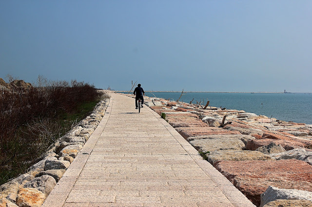
(Above) A view of Lido Island from the Mose Project jetty. Lido has many nice and several sketchy-looking beach resorts overlooking the blue Adriatic.
(Above) This sign explains the location of the sea barriers in the Lido Gap.
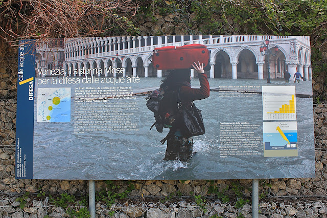
(Above) This sign shows St. Mark's Square (Piazza San Marco) during high water. Isn't it tragic that such beautiful and historic places get flooded?
(Above) As this sign explains (top) storm tides are getting higher in Venice. The lower diagram shows how the massive barriers rise from the seafloor when filled with air.
(Above) The Mose construction site in the Lido gap in 2013. It is slated for completion in about 2018.
(Above) This panorama shows the long jetties. The western (right) jetty is 1.6 miles (2.55 km) long and ends at a lighthouse The eastern (left) jetty and armored coastline are 1.9 miles (3.0 km) long.
< end of trip >
Venice and all with the "Italy" label
Related Websites:
The Mose Project
Italian train system: Trenitalia
Venice Pass advice at TripAdvisor
A good explanation of subsidence at LiveScience
