Bighorn Mountains, Wyoming
Bighorn Mountains, Wyoming
See some of America's best unspoiled landscape created by spectacular geologic events!
Travel to Bighorn Mountains
What You'll See: Giant folds and faults, high alpine peaks, some of America's oldest rocks, lakes, streams, meadows -- and few people.Route: U.S. highway 14A from Lovell to Dayton, and U.S. 16 from Buffalo to Tensleep, Wyoming.
Vehicles: Any. Make sure RV brakes and cooling system are in good order for long, steep grades.
Lodging: Available at Lovell, Dayton, Sheridan, Buffalo, and Worland.
Campgrounds are available throughout.
Lodging in the mountains: I can't wait to stay at Bear Lodge Resort (http://www.bearlodgeresort.com/), Elk View Inn (http://www.elkviewinn.com/), Arrowhead Lodge (https://www.arrowheadlodgewyoming.com/), South Fork Lodge (http://www.lodgesofthebighorns.com), and Meadowlark Lake Lodge (same website).
Food: Plan on taking your own, or contact the lodges above.
Fuel: Gas is now available at Arrowhead, Elk View, and Bear Lodge resorts. Elk View and Bear Lodge also have diesel (thank you, Lodges!).
;
Interactive Google Map. This trip starts on U.S. 14A east of Lovell and goes east to Dayton. The second half is on U.S. 16 from Buffalo to Tensleep.
See Medicine Wheel trip for the west end of U.S. 14A.
Geology of the Beautiful Bighorn Mountains
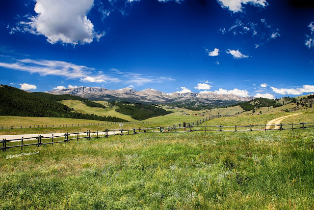
A panorama of the east side of the Bighorns shows how incredibly long the range is -- so long, you can't see it all from one place! View from the Bozeman Trail historical marker on I-90 south of Sheridan. Location: 44.701065, -106.909695
Geologic cross-section of the Bighorn Mountains from southwest to northeast. Between about 70 and 45 million years ago, this region was compressed by tectonic stresses. This thick block of Earth's crust popped up along thrust faults on its SW and NE sides, folding the rock layers. This event is called the Laramide orogeny after the Laramie Mountains in Wyoming. The Bighorn Mountains are one of the largest structures formed at that time, along with the Wind River, Beartooth, Gros Ventre - Tetons, Uinta, and other mountains in the region. Diagram from Rocky Mountain Association of Geologists.
I enjoy visiting the Laramide uplifts for their unique landscapes. They have tilted, folded strata on their flanks and broad, glaciated granitic blocks in their high country. That's why I have so many field trips to them, and more are coming! See Beartooth, Tetons, and Medicine Wheel.
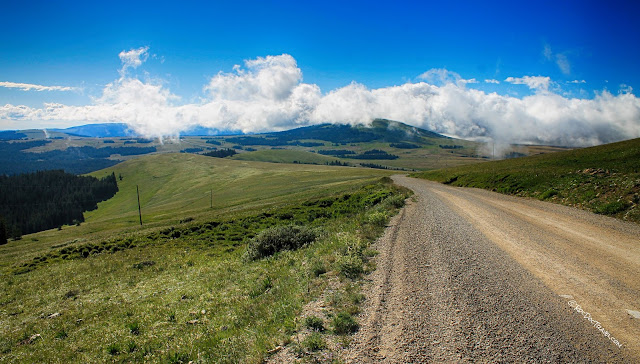
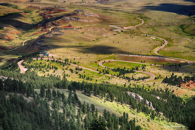
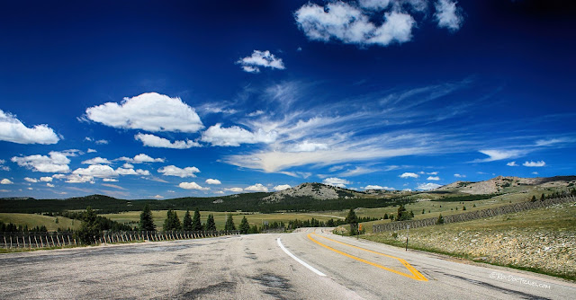
U.S. 14A is closed in the winters for good reason -- it winds along at 9200 feet elevation! You'll roll along through pleasant, unspoiled forest and meadows across the broad top of the range. This is the road out of Medicine Wheel historic site.
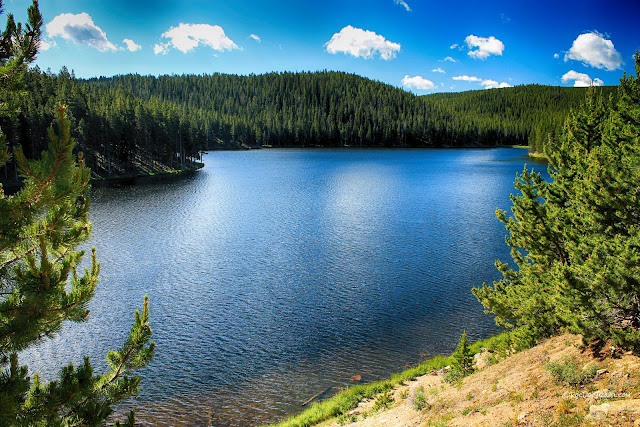
U.S. 14 crosses the broad high country forest and meadows. The whole range was under an ice cap for most of the last 2 million years. This is Sibley Lake, which has a good picnic area and campground. It's in a low spot in the granitic bedrock, impounded by a low dam. Location: 44.761267, -107.438635
Looking out to the Great Plains past Steamboat Point.
This terrain is typical of high country in the West that was covered with ice and snow most of the last 2 million years -- low rolling hills, gravelly soils with occasional boulders, and actively down-cutting streams. The bedrock across the top of the range is Archean granite and gneiss, some of America's oldest bedrock. It represents the core of one of several mini-continents that collided to form North America between about 2.7 (here) and 1.4 (farther south) billion years ago. The rock itself is about 2.8 billion years old.
These are the formations above the Archean. Not all are present everywhere. Most of the cliffs you'll see on Highway 14 are the Bighorn Dolomite and Madison Limestone.
Eastern Bighorn Mountains
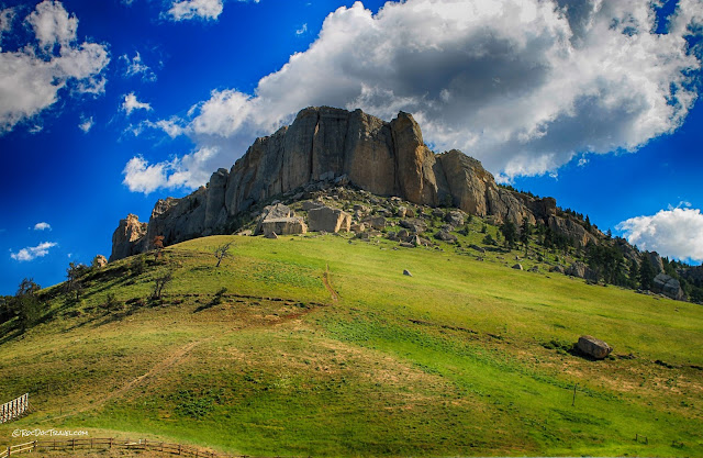
Steamboat Point is a prominant cliff of the Ordovician (485 - 444 million years ago) Bighorn Dolomite, the same rock that forms the cliffs at Medicine Wheel. All the sedimentary rock layers are tilted here, just as shown in the cross-section. The tilt results in V-shaped outcrops like this between streams that cut V-shaped canyons.
A Google Maps 3D view to the northeast where Highway 14 descends the flank of the mountains. The strata are labeled in green, and the location of the Fallen City is shown for reference.
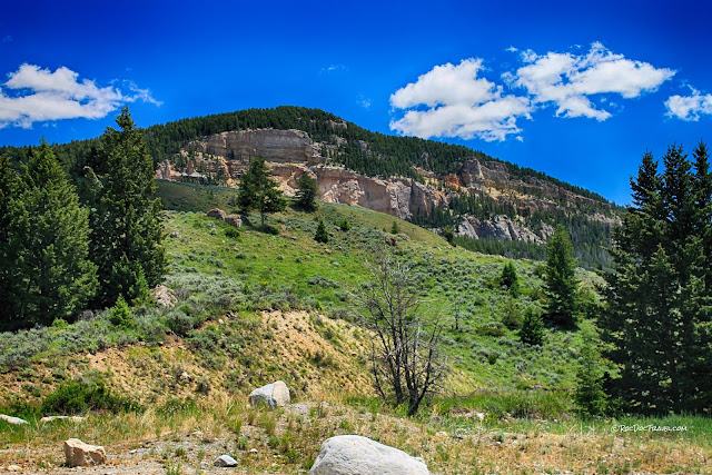
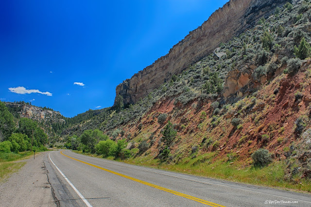
Where the highway crosses the tilted strata on the NE flank of the range, it takes you to this marvelous sight. The forest here grows on the tilted top surface of the Madison Limestone, one of the most prominent cliff-formers in the region.
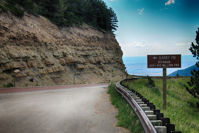
I'm grateful to the geologists and state officials who have put in so much work around the state of Wyoming to put up accurate geologic markers like this one! You'll see them across every mountain range in the state. This one is just across from the Fallen City in the next photos.
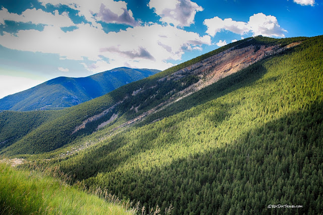
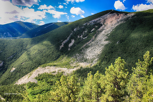
The amazing "Fallen City" is blocks of fractured Madison Limestone (about 360 - 325 million years old). Water gets into fractures and jacks them open when it freezes. The blocks slid on a thin layer of shale (a rock made of clay), which is slippery when wet. The limestone originally formed on the continental shelf, and includes a lot of sea-bottom fossils.
Here's a view of the Fallen City from lower in the canyon. You can see layers of the Madison Limestone in the cliffs to the upper-right of the slide.
Just south of the Fallen City is another landslide complex, also in the Madison Limestone with the Darby Limestone on top of it. It's called the Horseshoe Mountain landslide.
These formations are prone to landslides because they contain several thin layers of slippery shale. When the solid limestone blocks are wedged apart by ice, they're just sitting on the shale, and slide when it's wet.
This slide has created a large pile of debris on the side of the canyon.
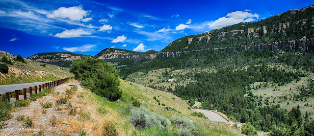
Looking northward, you'll see the tilted sedimentary strata.
A common marker in all the Laramide uplifts is the bright red Chugwater formation. It's Triassic in age (between 250 - 200 million years ago), and is brick red because of the oxidized (rusted) iron minerals it contains. It contains sandstone, siltstone, and shale that was deposited near the shoreline of a shallow inland sea. In places, it's over 1000 feet thick! It's the same red rock you'll see near Lander, Cody, Thermopolis, and around the edges of all the big block uplifts.
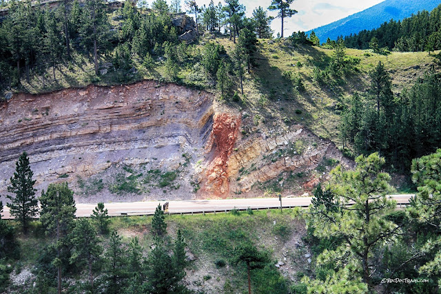
This small fault cuts the Amsden Formation (Mississippian, about 380-320 million years old). It is part of the fault system that uplifted the Archean granite and tilted all the strata.
Looking south, you'll see the tilted strata. The red beds are the Chugwater.
Along I-90 south of Sheridan, stop at the historical markers for the Bozeman immigrant trail. Trails like this are the story of America. Each has an origin (often on old native trails) and purpose that tell how the West was explored and settled. Location: 44.701032, -106.909730
I like this simple representation of the mountain ranges of Wyoming, which geologists call Laramide uplifts. Their locations dictated the trail routes. The most significant of the trails, the Oregon Trail, followed a native path across the continental divide that became known as South Pass (because Lewis & Clark had taken a "north pass" across the Rockies). The first white explorers to cross South Pass were the Astorians, sent and financed by John Jacob Astor in 1811.
Geology of U.S. Highway 16: Southern Bighorn Mountains
From I-90 at Buffalo, head west on highway 16 back into the Bighorn Mountains toward Tensleep and Worland.
A Google Maps 3D view to the southwest of Highway 16 in the foreground, the high country in the background. The Piney Creek thrust is responsible for this big crustal uplift. It moved the Paleozoic and Archean rocks tens of miles, sliding them up and over the much younger Cretaceous rocks. The faulting and displacement were accompanied by folding and tilting of the rock layers, as shown in the cross-section.
On U.S. 16 west of Buffalo, the highway starts its long climb into the Bighorns. This hill marks the big Piney Creek thrust that shoved the Madison Limestone (the cliffs) over much younger Cretaceous rocks that are buried under the grassy slopes. Displacement on the fault is tens of miles! Location: 44.332030, -106.844521
Looking back over the Great Plains from the Clear Creek fault. From here eastward across the entire continent to the Atlantic Ocean, there are no mountains as high as these!
This is a Google street view of the steeply tilted Cambrian rocks in a roadcut just west of the Clear Creek thrust. This is the Gros Ventre formation made of shale and siltstone. The Bighorn is the cliffs to the right.
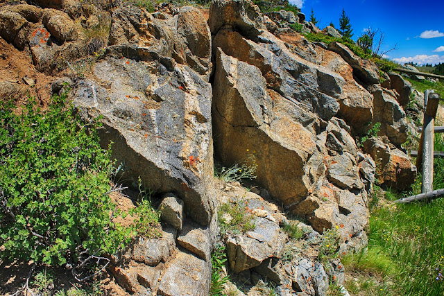
This outcrop has one of the most interesting rocks, amphibolite. It forms under tremendously high pressure and temperatures, which means this rock used to be tens of miles deep. Now it's alongside the road! The black mineral is amphibole, and it also contains plagioclase feldspar. It's very dense and heavy.
It's worth your time to take the Hunter Creek Road toward the Paradise Guest Ranch. It offers spectacular views of the high peaks. Turnoff location: 44.315412, -106.938441 Take other roads, too, if you have the time! Circle Park road is another good one for views.
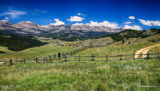
That's Loaf mountain (11,722 ft.) on the left and Bighorn Peak (12,324') next to the right.
In this 3D Google Maps view, the deep cirques by Bighorn Peak are impressive. This is designated wilderness, so it's a day-long hike to get here. This bedrock is still the 2.8 billion year old granites and gneisses.
Up close, you can see various dikes cutting through the granite. Look for nearly-white dikes made of quartz and feldspar, and black dikes made of amphibole.
Close up, you can see individual quartz grains (gray, glassy), feldspar (light colors), biotite (black & platy), and amphibole (black chunks). This rock has been around for more than half of earth's history!
Just looking at these pictures again makes me want to take off and wander the Bighorns! There are a good number of back-country roads where you can explore, camp, hike, ride horses, and ride off-road vehicles.
The rolling terrain of the eastern half of the range makes the forest and meadows quite accessible.
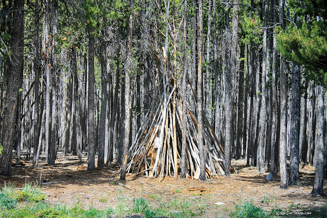
I came across this stick teepee someone had left in the woods.
Be sure to get out of your vehicle and wander! The forest here has little underbrush, so you can walk through it pretty easily. Get out, enjoy the sun and the smells and the silence, and let your mind and soul rest!
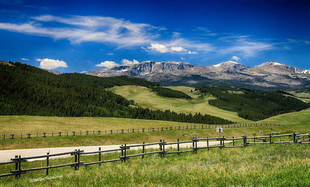
The highway gradually makes its way westward to the high peaks. This is Hesse Mountain, 10,385 ft. Location: 44.148957, -107.060472
These are the peaks at Powder River Pass.
Powder River Pass is a high one -- 9666 feet! Few highways in America go higher.
Several miles west of Powder River Pass, you'll encounter beautiful Meadowlark Lake. It has a couple of good lodges and a campground. This is still 2.8 billion year old granitic bedrock.
A nice little ski hill is adjacent to Meadowlark Lake. I'll have to get back over here in winter to try the runs! The top of the ski runs are on the Tensleep Sandstone, which was formed by ancient sand dunes. The lake sits right in the top of the Archean igneous-metamorphic rocks. Just behind the lake is the top of Tensleep Canyon.
Tensleep Canyon
The reason most Geologists drive Highway 16!
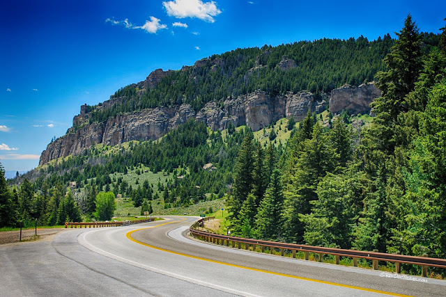
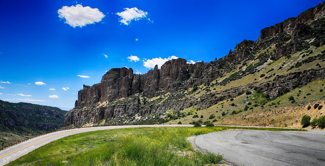
The high, yellowish cliff-former is the Tensleep Sandstone. Below it are shaley intervals and gray cliffs of the Amsden Formation and Madison Limestone.
At the first U-bend of the highway, you're looking at the Madison and Bighorn cliffs.
This panorama shows the south wall of the canyon, with Tensleep, Madison, and Bighorn cliffs. The lower slopes are the Cambrian Gros Ventre Formation. The Archean rocks form outcrops in the bottom of the canyon, with the Great Unconformity at their top where half of Earth's entire history is missing.
The old highway is on the south side of the canyon, but I suspect because it's built on shales of the Gros Ventre Formation, it had settling and landslide problems and was abandoned.
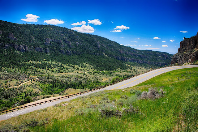
Looking toward the head of the canyon is a bit of an optical illusion because the strata dip in the same direction as the canyon. It doesn't look like it, but the canyon gets quite a bit higher in the distance.
Those are west-dipping Bighorn cliffs with the Cambrian shales below, which are stained red here.
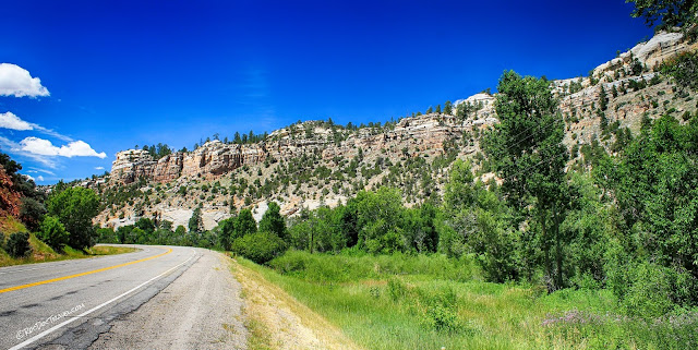
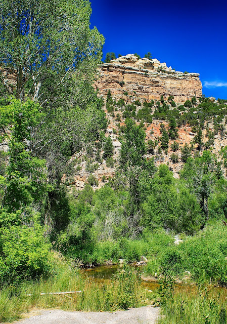
The lower canyon is in a different climate zone than the upper, with cottonwoods, pinion pines, and grass. These cliffs are the Tensleep Sandstone.
The lower canyon, with Tensleep cliffs.
The bright red rocks in the distance are the distinctive Chugwater Formation, which is Triassic in age. Keep this in mind: when the mountain range first started uplifting, all these rock layers covered it all across the top. They have since all been eroded away, leaving a red Chugwater ring around the range.
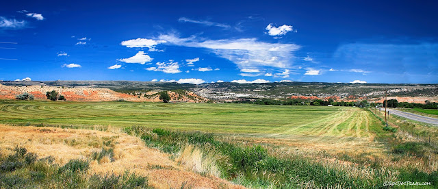
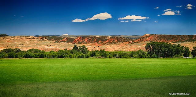
I think the farm area around the town of Tensleep is about as pretty as anything in Wyoming! The colors are a feast for the eyes.
Don't miss the spectacular Bighorn Mountains, Wyoming!
----------
Key words: geology, travel, roadtrip, trips, outdoors, mountains, hiking, trails, backpacking, wilderness, camping, explore, discover, earth, rocks
