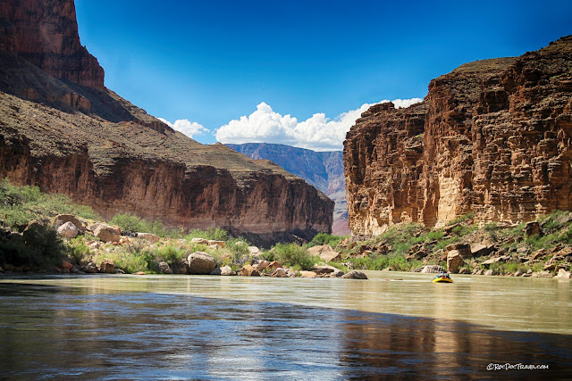
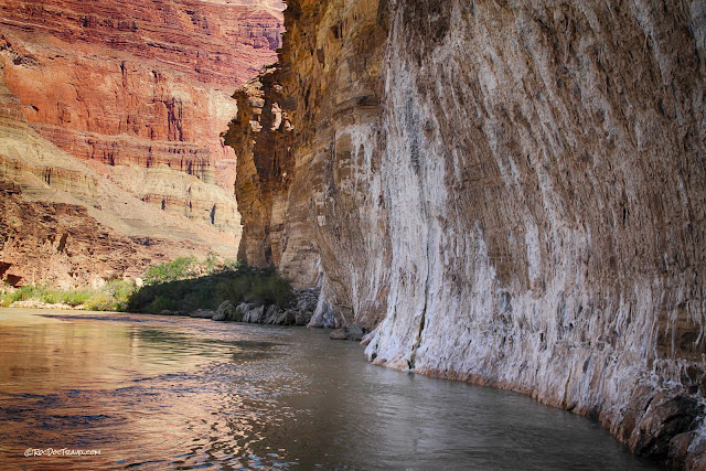
Grand Canyon Rafting - part 1
Grand Canyon Rafting - part 1
Lee's Ferry to Little Colorado RiverA true bucket-list trip that you will never forget!
Why Raft the Grand Canyon?
If you've visited Grand Canyon National Park before, you might think you've seen enough of this world marvel. But here's the facts: You ain't seen nothin'! Taking the river through the canyon shows you just how big, complex, and rugged, and endlessly fascinating this vast network of canyons is. You will soon realize you only saw 1% from the rim.Arrange a River Guide
We (a group of geologists) went with Hatch Expeditions and could not have been more pleased. I recommend them for their clear, complete, concise preparation information, knowledgeable and skilled guides, and outstanding food & accommodations. Their website is here.Ours was a 6-day expedition. Shorter and longer rafting trips are also available.
The place you'll get into the river is called Lee's Ferry. It's south of Page, Arizona just off U.S. highway 89A.
Rafting
Seasons: Rafting trips are available Spring through Fall. Don't hesitate to go in high summer - the river keeps you surprisingly cool most of the time! Early and late season trips can be cold. Your guides will help you prepare in the months and weeks leading up to your trip.Costs: See the various guide companies' websites for up-to-date fees. It's not cheap, but is totally worth it! Plan to make reservations about a year in advance.
Physical Considerations: If you go on a motorized big-boat tour like we did, you don't have to be a fit, strong swimmer. You do have to be able to endure a rough ride and highly variable temperatures, as well as get on and off the rafts (this is trickier than it sounds). Ask the guide company about special considerations. You'll also have lots of opportunities to hike and swim.
I recommend the big motorized rafts for those who want the easiest trip.
How to Get to Marble Canyon / Lee's Ferry, Arizona
Hatch arranged for us to stay at the Cliff Dweller's Lodge near Marble Canyon, Arizona the night before we hit the river. It's an adequate and convenient place to stay. The restaurant is just average, so don't expect fine dining.
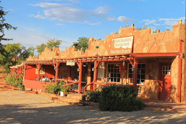
Interactive map showing Cliff Dwellers Lodge and Marble Canyon. To see Lee's Ferry, the put-in point, zoom into the upper right along the river.
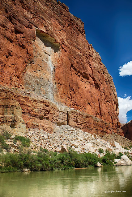
Right from the moment you arrive, before you even get to the river, you are engulfed by colorful, high cliffs. This is actually part of the Grand Canyon system of stair-stepped cliffs that expand outward from the river.
I have used this location as an example in classes of cliff hazards. Those boulders weren't placed there by a landscaper, you know!
Grand Canyon Geology
First an orientation to the rock layers.
In the regional picture, the Grand Canyon is the deepest cut into a huge rock layer cake. Getting to Lee's Ferry, you will drive across some of these layers -- all of them if you came down U.S. 89 through central Utah. The Vermillion Cliffs are the ones by Kanab and St. George, Utah. Zion Canyon sits farther back, and Bryce Canyon farther still. But they're all part of these "staircase" that the Colorado and its tributaries have eroded into the uplifted land.
Here's the layer cake, or stratigraphic column I'll refer to for the rest of our field trip (by USGS). We start up at the Jurassic Chinle Formation at Lee's Ferry and will follow the river downward through the column, through a long section of the Redwall Limestone in Marble Canyon, to the ancient Vishnu Schist and Zoroaster Granite where the Kaibab and Bright Angel trails meet the river. Notice that cliff-formers are drawn as cliffs and softer slope-formers are drawn as slopes. That will help you keep track of the formations.
For more read full descriptions of the Grand Canyon rock layers here.
Lee's Ferry to Marble Canyon
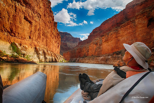
Our guides from Hatch River Expeditions took us to Lee's Ferry right from our motel. After some instructions and packing, we set off down the river on these giant gray rafts. Those are two of Hatch's guides, the ones in shorts. We could not have asked for more courteous, helpful, experienced, and knowledgeable guides! Map coordinates: 36.865947, -111.586998The Chinle is known for its unique, varied colors and its fossils. Petrified wood and a few dinosaur bones are abundant and, because the shale is so easily eroded, easy to find.
The old Utah pioneers used this spot to cross from east to west. Can you imagine traveling this narrow ledge in a horse-drawn wagon?
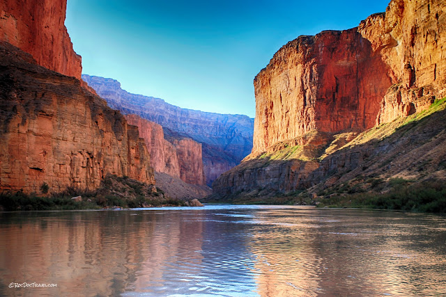
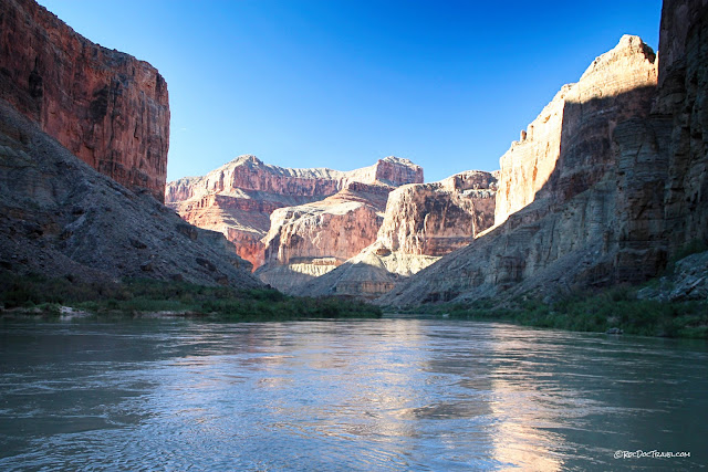
From your first minute on the river, you'll be entranced by the scenery. There isn't a single mile of the entire canyon that wouldn't stack up to the best scenery in the world.
In a big boat with several other people, you'll be literally on top of your luggage for the whole trip. We used our bags, all tied into a big tight bundle under a heavy tarp, as back rests.
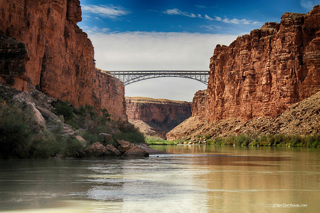
After just a few more miles, you'll pass under the Navajo Bridges. The sandstone cliffs here are the Kaibab at the top, the Toroweap forming the slopes below, and the Coconino Sandstone at river level.
The wider southern bridge is the newer one the modern highway crosses. Map coordinates: 36.817209, -111.631520
Looking back upstream.
The Coconino Sandstone is an ancient beach, and is made of well-cemented quartz grains. The undulating and wavy surfaces in this picture are fracture planes. The tilted layers below that are cross-bedding in an ancient sand dune.
Lunchtime! Our guides had their favorite beaches and nooks already picked out, and every one had breath-taking scenery. This beach is at the base of the Coconino Sandstone.
Marble Canyon
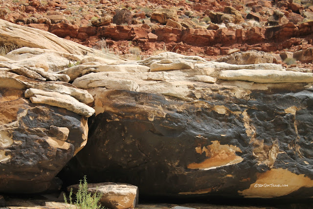
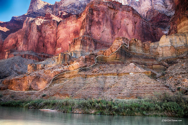
One of the Grand Canyon's least-known but most interesting features are the ancient spring deposits. This one has been mostly eroded away, but a remnant sits among the rock rubble above the river. The red layers are in the Hermit Shale. Groundwater flowing through fractures in the limestones becomes saturated with calcium carbonate, and when it flows out onto the ground, it deposits that calcium layer by layer. The resulting rock is called travertine, which you may have seen sold as floor tiles.This inscription reads, "F.M. Brown, Pres. D, CC & RR was drowned July 10, 1889 opposite this point." Frank M. Brown had an ambitious plan to build a railroad from Denver to coal mines in Arizona and eventually to supply coal to Los Angeles. He took 14 men on an expedition to scout a round along the Colorado River, but the fateful decision not to bring flotation vests cost him his life. The inscription is chipped into desert varnish, the dark brown to black coating of clay and manganese & iron oxides that is common in the desert Southwest. Studies show that it takes centuries to form a coating like this one, mostly from dust and dew that settle on the rocks.
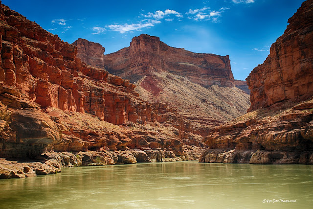
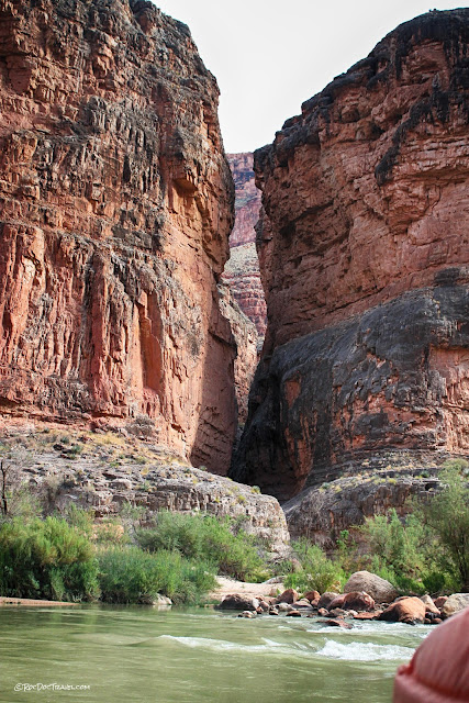
As you go down the river, don't forget to look at the side canyons! Some like this one are narrow notches eroded over millennia by seasonal streams. Erosion rates are highest during flash floods, when the streams carry sand and rocks.
This cross-bedding in the lower Supai Group preserves the growth layers of ancient coastal sand dunes.
See the arcuate patterns? Those are "plumose structures," similar to the curves in broken obsidian or glass. They form as a fracture spreads outward from its origin, and represent snapshots in time of the fracture propagation.
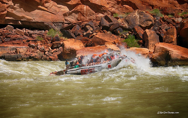
Yes, you will occasionally get wet! In the big boats, the ride is thrilling without instilling fear.
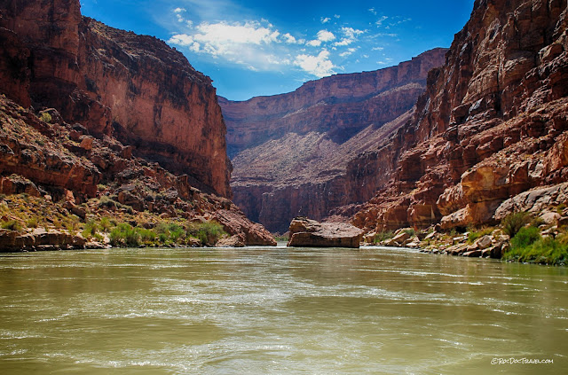
The big boulder in the middle of the river fell from the cliffs above. That would have been fun to see!
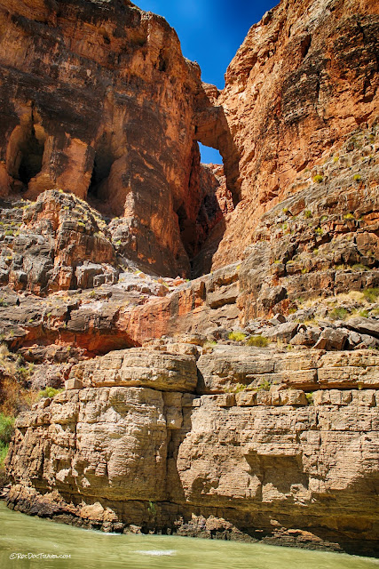
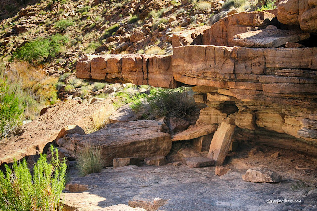
Keep looking up! We spotted this arch eroded out where fractures intersect.
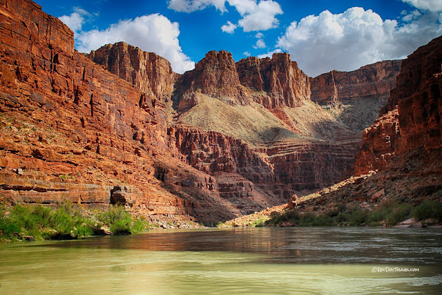
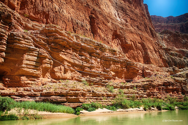
Here's a good view of the strata from the Kaibab high on the skyline down through the Supai Group at the river.
We spotted this tower silhouetted against the sky for only a few seconds as we drifted past. Most of the bedrock is highly fractured from its long history of tectonic stresses. The fractures, which geologists call joints, cause slabs of rock to calve off the cliffs and fall into the river. Eventually, this tower will collapse, too.
Amazing scenery in every mile!
This could be you! This geologist is enjoying the high, solid cliffs of the Redwall Limestone. The main part of Marble Canyon is a narrow trench cut in the Redwall. The red color is staining from the red Supai layers above. When you break it open, the limestone is actually gray.
Here's another slot canyon formed by a tributary.
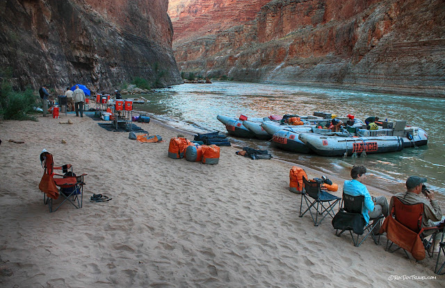
We tied the big boats to stakes in the sand, and awaited the first of many surprisingly gourmet dinners prepared by our guides. The hors d'oeuvres were wonderful!
Ancient American Dwellings
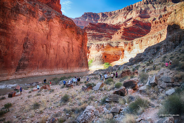
We saw considerably more native dwellings and ruins than I had expected! It appears that the natives chose their sites with three things in mind: a trail out of the canyon, a place to grow crops, and (at times) a defensible location. These are near South Canyon, map coordinates 36.504302, -111.857685These Anasazi petroglyphs were chipped into the Redwall Limestone, possibly a thousand years ago. Someone in our group remarked, "I wonder if they were really that skinny."
Circular walls are all that remain of the dwellings.
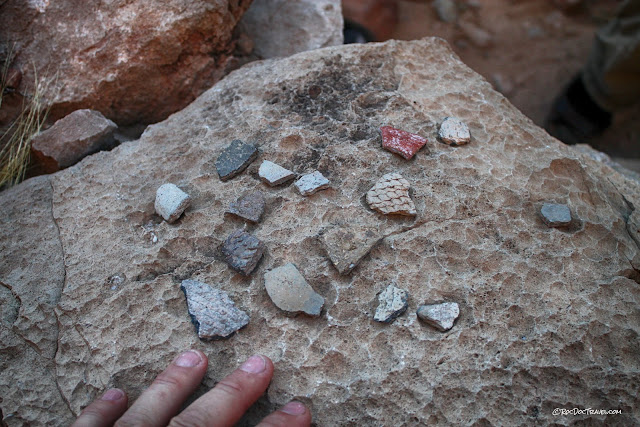
These pottery shards are kept on a prominant rock, with the understanding that no one will take them so everyone can enjoy them. I like that. It would have been good if the explorers and visitors a hundred years ago had adopted the same attitude.
The Anasazi site faces a formidable Redwall cliff.
A little farther down the canyon is this colorful spring called Vasey's Paradise. The water flows through fractures in the Redwall and Muav limestones. Dissolution along fractures and insoluble bedding planes has created the tunnels where the water pours out of the cliff face. Map coordinates: 36.498088, -111.857707
Deep Marble Canyon
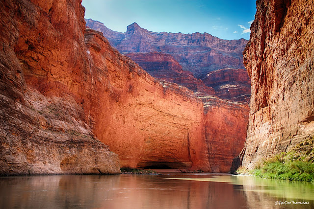
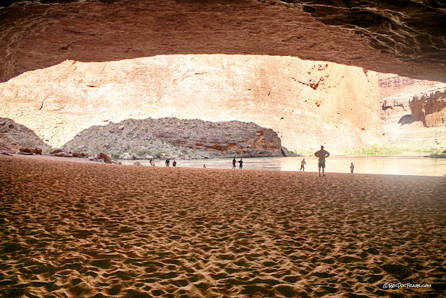
At this sharp bend in the river is Redwall Cavern. The river slowly ate its way into the limestone. Map coordinates: 36.493284, -111.839900The cavern is huge! Before the Glen Canyon dam was built and the river was wild, spring floods filled this canyon, bringing in all this sand.
It's a fun place to play!
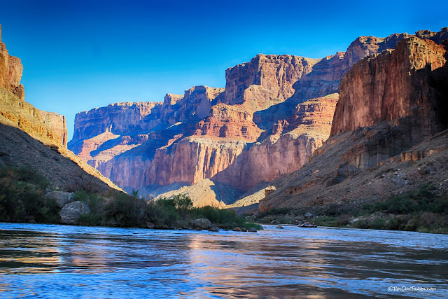
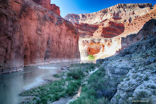
Looking down Marble Canyon toward the Little Colorado River confluence.
The Redwall Limestone has layers with abundant fossils, like this large nautiloid.
Geologists studying the fossil beds in the Redwall.
We found this calcite crystal-filled cave along the river.
The crystals are about a foot long!
An arch in a side canyon in the Redwall Limestone.
This is one of the few places where you can see the Temple Butte limestone. It fills ancient channels cut into the Muav Limestone below it.
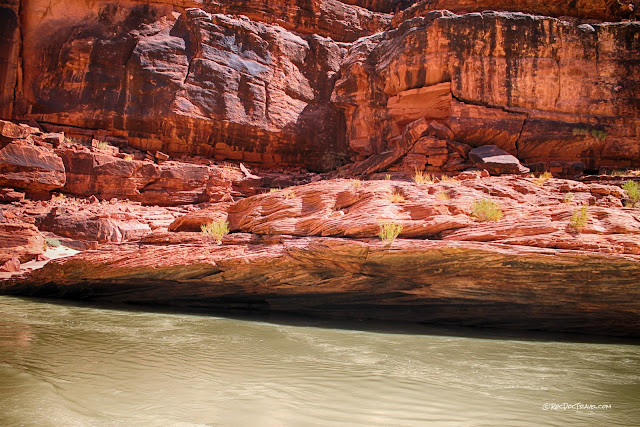
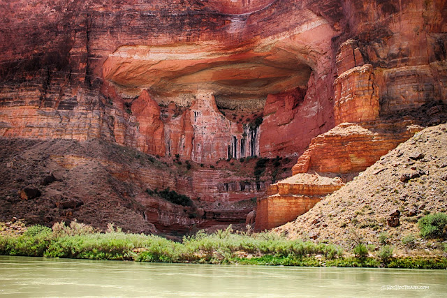
Along the river are many impressive alcoves eroded into the limestone. Most of them were eroded by springs seeping through the rock.
This impressive rock fall took place about 10 years before our visit. The light gray rock shows the true color of the Redwall Limestone.
Wow, in so many places you feel like you're floating through heaven!
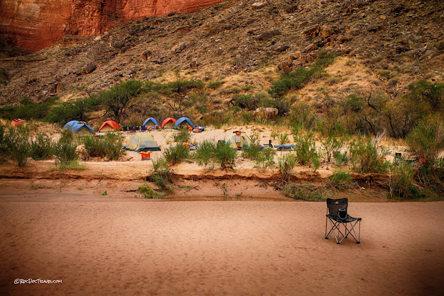
Our guides took us to a marvelous sand bar for the night, with views to rival any on Earth! Map coordinates: 36.365385, -111.887808
Beach to yourself, anyone? The river water levels fluctuate in a predictable pattern according to how much electricity is needed from the Glen Canyon Dam. Within two hours, this beach was under water, just like our guides said it would be.
This is how geologists dream of bathing!
Our campsite had this intriguing view of the Redwall (above, red) and the Muav Limestone (below, layered). Joints have broken the rock into orthogonal patterns that illustrate how cliffs form and retreat - slabs between joints drop off when they lose cohesion with the adjoining slabs. The slabs break along weak bedding planes, and drop into the river, where they are dissolved and carried away during floods.
Now, how's that for a view to wake up to!
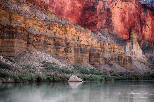
The Muav Limestone (not really all limestone) forms the slopes and small cliffs below the prominent red cliffs of the Redwall. The Muav has eroded into some of the most interesting shapes in the entire canyon.
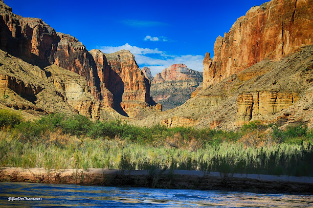
One of the unexpected things for me on this trip was how the views from the river range from close, narrow cliffs to wide, expansive views out to higher levels.
The 530 million year old Muav contains limestone, dolostone, mudstone, and variously colored shales. These sediments were deposited in near-shore shallow water near the bottom of the unit, and in deeper water in the shaly upper layers. In this picture, you can see that vertical joints have cut the layers into distinct blocks.
The trip down the river opens your eyes to the important role of the side canyons and tributaries. This view shows the broad flash flood deposits from Kwagunt Canyon.
More remnants of spring deposits are preserved on a piece of the Muave Limestone, not far upstream from the Little Colorado River confluence. Map coordinates: 36.209323, -111.802830
This view shows a large remnant of spring deposits on the Muav Limestone. Chemical analysis of these spring deposits gives a record of past climates.
This was our first encounter with the Tapeats sandstone. The sand was deposited during a Cambrian continent-wide rise in sea level and advance across the continent. Equivalent sandstones are found all across the U.S. The Bright Angel Shale forms the slopes just above it. We'll see more of it later.
The view approaching the Little Colorado confluence is spectacular! The big mountain is called Cape Solitude, and it contains all the stratigraphic units from the Kaibab down to the Tapeats. Can you spot them from previous descriptions?
Little Colorado River Canyon
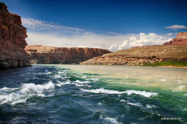
View from the confluence downstream.The Little Colorado is usually silty, bringing more clay into the canyon and clouding the river. This view looks up its canyon.
The sandstone layers in the Tapeats are quite strong!
Looking downstream from the confluence.
A short distance downstream from the confluence are the "Navajo salt mines." These are salt deposited by groundwater seeping from the cliffs. The salt was dissolved out of the bedrock.
From this point, the canyon widens significantly where the river lies in the Precambrian sedimentary, volcanic, and metamorphic rocks. See part 2!
